Home
All Products
Historic Maps
American Indian Maps
Birds Eye View Maps
Civil War Maps
Panoramic Maps
Railroad Maps
Revolutionary War Maps
State Maps
Historic Prints
Civil War Prints
Civil War Posters
Historic Portraits
Presidential Portraits
Contact Us
0
0
press
Enter
to search
Showing all results:
No products found.
Search
Search Product or SKU
×
Sort By
Default
Price: Low to High
Price: High to Low
Alphabetical
SKU
Categories
All
American Indian Maps
American Indian Photos
Birds Eye View Maps
CD Collections
Civil War Maps
Civil War Posters
Civil War Prints
Panoramic Maps
Photo-chromes
Presidential Portraits
Railroad Maps
Revolutionary War Maps
St. Augustine
State Maps
Tom Tower, Oxford, England
$
17.95
Tomb of Lazarus, Bethany, Holy Land, (i.e. West Bank)
$
17.95
Tomb of Rachel, Jerusalem, Holy Land
$
17.95
Tomb of the Virgin, and Cave of Agony, Jerusalem, Holy Land
$
17.95
Tomb of Victor Emmanuel, Rome, Italy
$
17.95
Tombs and view of Goletta, Carthage, Tunisia
$
17.95
Tombs of the kings, Jerusalem, Holy Land
$
17.95
Tombs of the patriarchs, Hebron, Holy Land, (i.e., West Bank)
$
17.95
Tomlinson's map of Vicksburg
$
17.95
–
$
47.95
Tomlishorn, I. and Oberland Alps, Pilatus, Switzerland
$
17.95
Tomlishorn, II., Pilatus, Switzerland
$
17.95
Tomlishorn, III., Pilatus, Switzerland
$
17.95
Tonenili (Navaho) 1904
$
17.95
Tonenili, Tobadzischini, Nayenezgani (Navaho) 1904
$
17.95
Top Capou, (i.e., Top Kapi) Constantinople, Turkey
$
17.95
Top Secret SR-71A Flight Manual
$
19.95
Topeka Kansas 1869
$
17.95
–
$
47.95
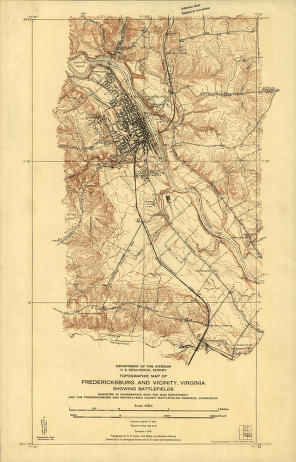
Topographic map of Fredericksburg and vicinity, Virginia
$
17.95
–
$
47.95
Topographic map of the battle-field of Port Republic
$
17.95
–
$
47.95
Topographic map of West Point, Constitution Island, and vicinity, N.Y.] / T.B.J. Weld.
$
17.95
–
$
47.95
Topographic maps of Chancellorsville and Salem Church battlefields
$
17.95
–
$
47.95
Topographical map of Nashville, Tenn.
$
17.95
–
$
47.95
Topographical map of Virginia between Washington and Manassas Junction
$
17.95
–
$
47.95
Topographical map of Virginia between Washington and Manassas Junction.
$
17.95
–
$
47.95
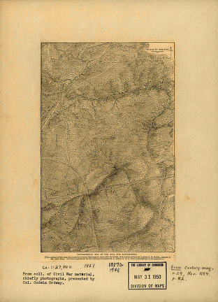
Topographical of the Bull Run battle-field of 1861
$
17.95
–
$
47.95
Topographical sketch of ground 1 1/2 miles south west from Alexandria
$
17.95
–
$
47.95
Topographical sketch of the Battle of Bethel
$
17.95
–
$
47.95
Topographical sketch of the battlefield of Stone's River
$
17.95
–
$
47.95
Topographical sketch of the battlefield of Stone's River near Murfreesboro, Tennessee, December 31st, 1862 to Jan. 3d, 1863
$
17.95
–
$
47.95
Topographical sketch of the environs of Murfreesboro, Tennessee
$
17.95
–
$
47.95
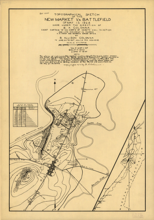
Topographical sketch of the New Market battlefield of May 15, 1864
$
17.95
–
$
47.95
Topography Atlas of the United States & West Indies
$
19.95
Topography of the federal city, 1791 : Washington D.C.
$
17.95
–
$
47.95
Tor's Walk, Ilfracombe, England
$
17.95
Torc Cascade. Killarney. Co. Kerry, Ireland
$
17.95
TorHill], Glastonbury, England
$
17.95
Torquay and Paignton, England
$
17.95
Torrent Walk I, Dolgelly (i.e. Dolgelley), Wales
$
17.95
Torrent Walk II, Dolgelly (i.e. Dolgelley), Wales
$
17.95
Torrent Walk III, Dolgelly (i.e. Dolgelley), Wales
$
17.95
Totem at Yan, representing a Caucasian 1915
$
17.95
Totems at Kung 1915
$
17.95
Totems at Yan 1915
$
17.95
Totland Bay, Isle of Wight, England
$
17.95
Totopotomoy [1864]
$
17.95
–
$
47.95
Touch Her Dress (Kalispel) 1910
$
17.95
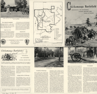
Tour route, Chickamauga Battlefield, Chickamauga and Chattanooga National Military Park, Georgia and Tennessee
$
17.95
–
$
47.95
Tourist's house, Spitzbergen, Norway
$
17.95
1
2
3
…
185
186
187
188
189
190
191
…
206
207
208
Load More
All products loaded.
Search Product or SKU
×
Home
All Products
Historic Maps
American Indian Maps
Birds Eye View Maps
Civil War Maps
Panoramic Maps
Railroad Maps
Revolutionary War Maps
State Maps
Historic Prints
Civil War Prints
Civil War Posters
Historic Portraits
Presidential Portraits
Contact Us
Cart
0
Cart
Close
Updating…
No products in the cart.
Continue shopping