-

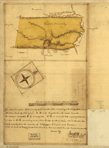
Map of the county of Frederick, 1769 Drawn by J Moffett
$17.95 – $47.95 -
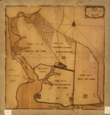
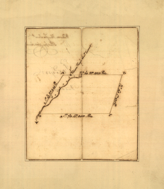
A plan of my farm on Little Huntg Creek & Potomk R G W
$17.95 – $47.95 -
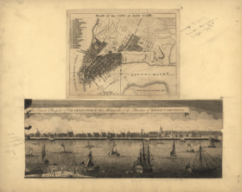
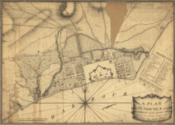
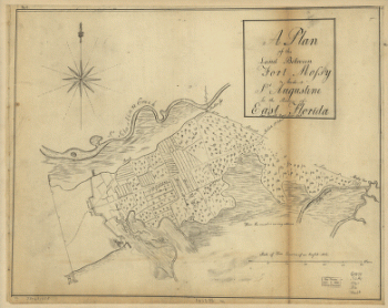
Plan of the town and harbour of St Augustine
$17.95 – $47.95 -
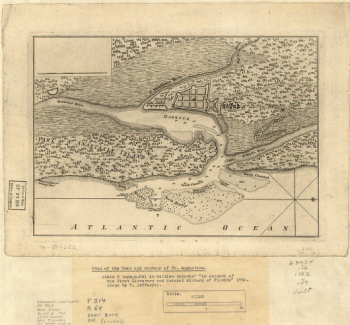
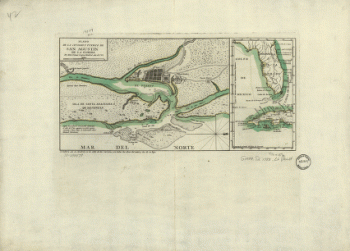
Plano de la ciudad y puerto de San Agustin de la Florida
$17.95 – $47.95 -
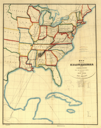
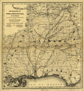
N.E. & S.W. Alabama Railroad
$17.95 – $47.95 -
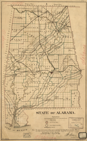
State of Alabama. October. 2nd. 1866.
$17.95 – $47.95 -
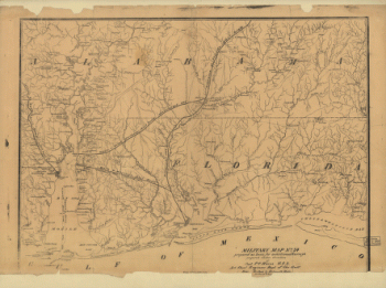
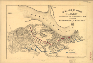
Military map no. 54, prepared as basis for additional surveys
$17.95 – $47.95 -
Alabama
$17.95 – $47.95 -
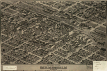
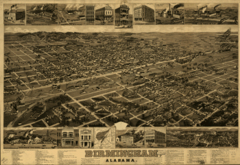
Birmingham, Alabama. H. Wellge, del. Beck & Pauli, litho.
$17.95 – $47.95 -
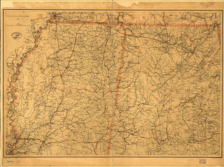
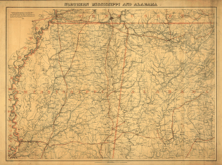
Northern Mississippi and Alabama
$17.95 – $47.95 -
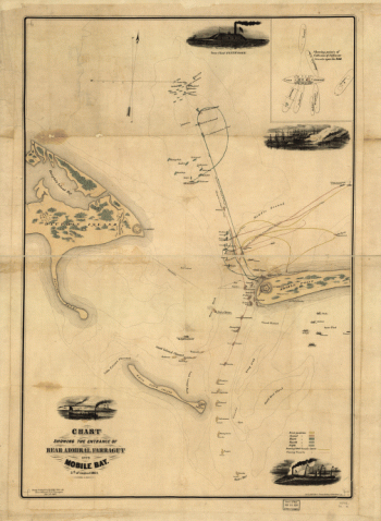
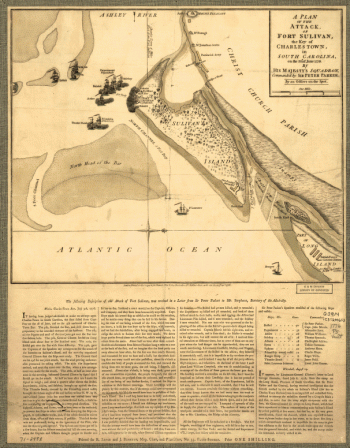
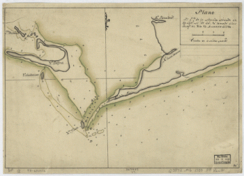
Plan of the battle of August 5, 1864. [Mobile Bay]
$17.95 – $47.95 -
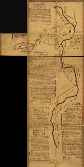
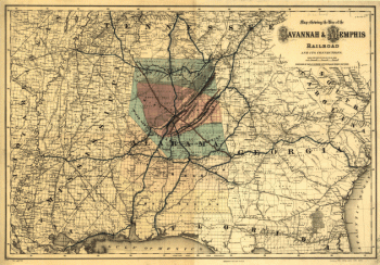
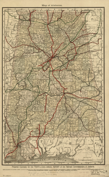
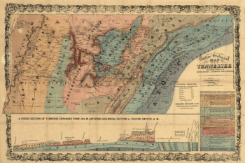
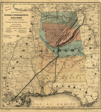
Map showing the line of the Alabama & Tennessee River Rail Road
$17.95 – $47.95 -
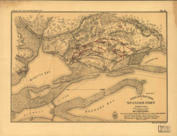
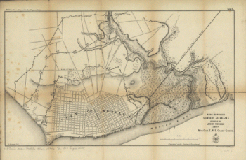
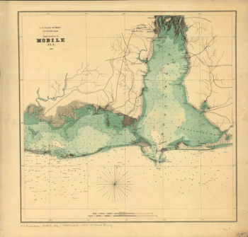
Approaches to Mobile, Ala. 1864.
$17.95 – $47.95 -
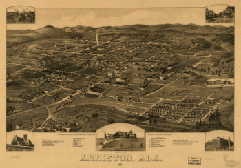
Anniston, Ala. 1887. Beck & Pauli Lith. Co.
$17.95 – $47.95 -
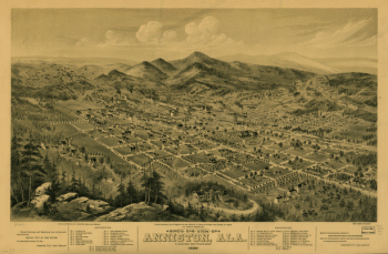
Bird's eye view of Anniston, Ala. 1888
$17.95 – $47.95 -
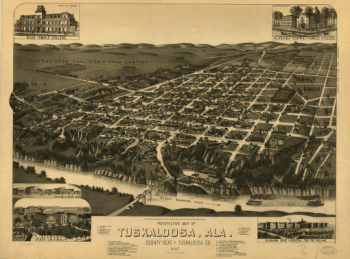
Perspective map of Tuskaloosa, Ala.
$17.95 – $47.95 -
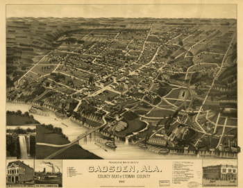
Perspective map of the city of Gadsden, Ala
$17.95 – $47.95 -
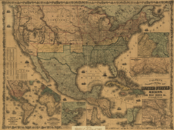
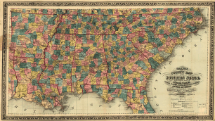
Railway and county map of the Southern States
$17.95 – $47.95 -
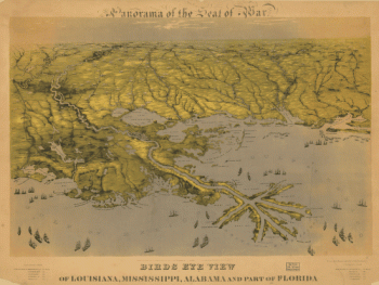
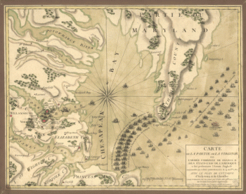
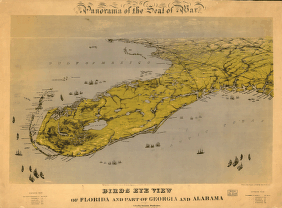
Birds eye view of Florida and part of Georgia and Alabama
$17.95 – $47.95 -
Business section of the city of Birmingham, Alabama.
$17.95 – $47.95 -
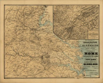
The approaches from Washington, to Richmond
$17.95 – $47.95 -
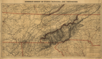
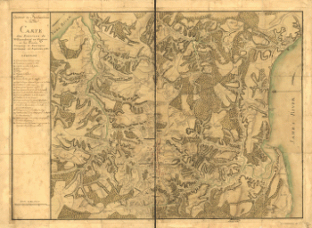
Mountain region of North Carolina and Tennessee
$17.95 – $47.95 -
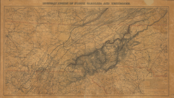
Mountain region of North Carolina and Tennessee
$17.95 – $47.95 -
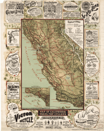
Map of California roads for cyclers.
$17.95 – $47.95 -
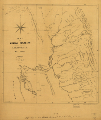
Map of the mining district of California.
$17.95 – $47.95 -
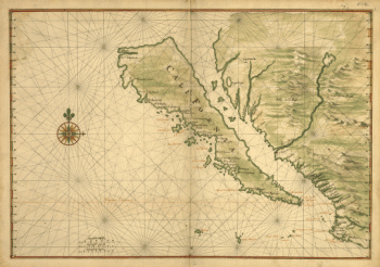
Map of California shown as an island
$17.95 – $47.95
![Plan of the battle of August 5, 1864. [Mobile Bay]](https://www.ushistoricalarchive.com/wp-content/uploads/nc/data/products/im/sm/al/b25-350x264.gif)
![Map of the defences of the city of Mobile. [1862-64] Engraved in the Engineer Bureau, War Dept.](https://www.ushistoricalarchive.com/wp-content/uploads/nc/data/products/im/sm/al/b43.gif)