-

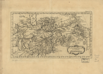
La Nouvelle France où Canada
$17.95 – $47.95 -
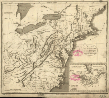
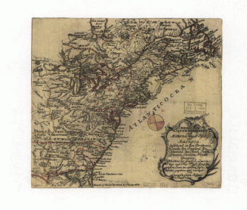
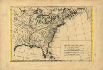
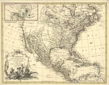
Partie des États-Unis de l'Amérique septentrionale
$17.95 – $47.95 -
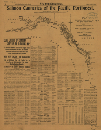
Salmon Canneries of the Pacific Northwest
$17.95 – $47.95 -
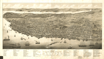
Panoramic view of the city of Halifax, Nova Scotia 1879
$17.95 – $47.95 -
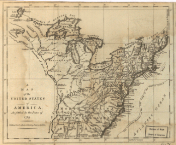
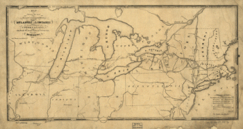
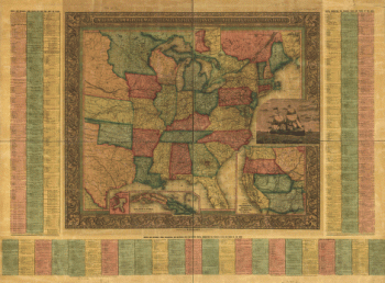
United States of America, as settled by the peace of 1783.
$17.95 – $47.95 -
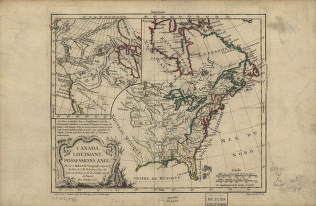
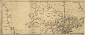
Canada and Louisiane
$17.95 – $47.95 -
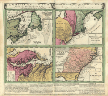
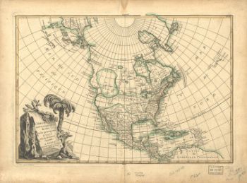
America septentrionalis oder Mitternächtiger Theil von America
$17.95 – $47.95 -
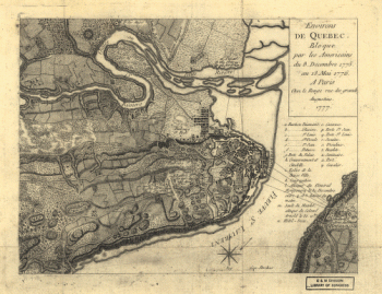
Environs de Quebec
$17.95 – $47.95 -
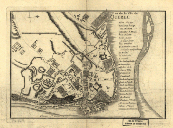
Plan de la ville de Quebec
$17.95 – $47.95 -
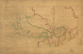
Canada IIe. feuille, XXXV, B 32
$17.95 – $47.95 -
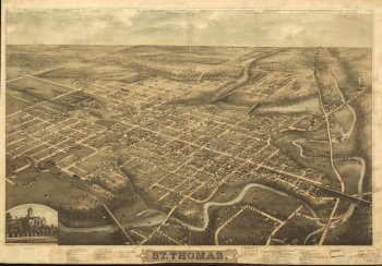
St. Thomas
$17.95 – $47.95 -
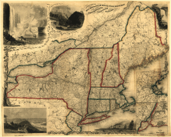
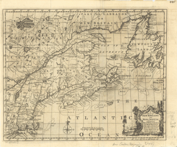
New England and Nova Scotia
$17.95 – $47.95 -
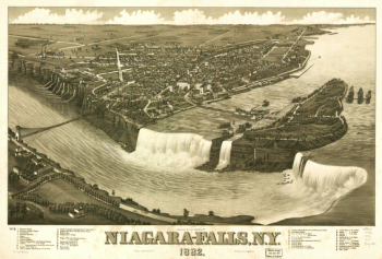
Niagara-Falls, N.Y. 1882
$17.95 – $47.95 -
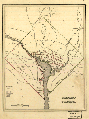
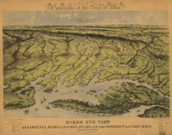
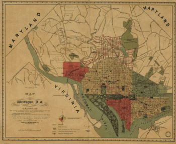
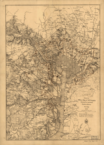
District of Columbia.
$17.95 – $47.95 -
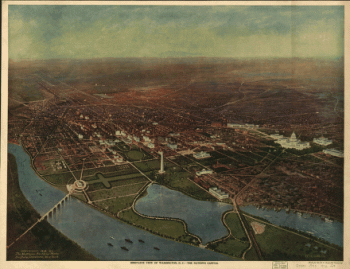
Bird's-eye view of Washington, D.C.–the nation's capital
$17.95 – $47.95 -
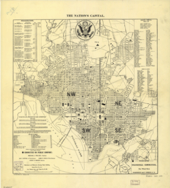
The nation's capital : Washington D.C.
$17.95 – $47.95 -
Washington, the beautiful capital of the nation
$17.95 – $47.95 -
View of Washington City
$17.95 – $47.95 -
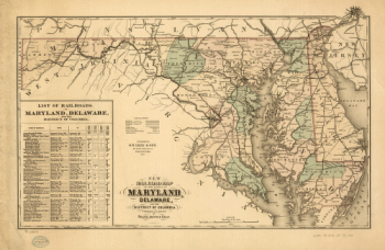
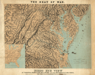
Virginia and Maryland
$17.95 – $47.95 -
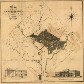
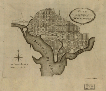
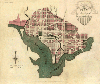
Plan of the city of Washington
$17.95 – $47.95 -
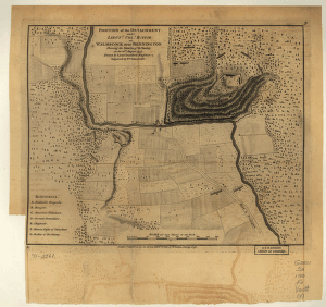
Washington, D.C., and environs
$17.95 – $47.95 -
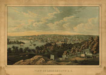
Georgetown D.C.
$17.95 – $47.95 -
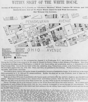
Within sight of the White House : section of Washington, D.C.
$17.95 – $47.95 -
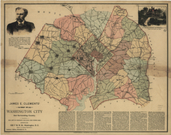
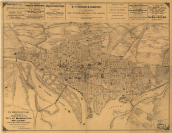
B.H. Warner & Co.'s Map
$17.95 – $47.95 -
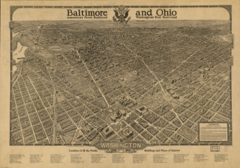
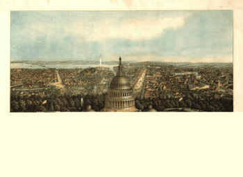
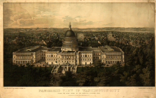
Panoramic view of Washington City
$17.95 – $47.95 -
Plan of the city of Washington.
$17.95 – $47.95
![Catalogue of points of historic interest : [Washington D.C. and metropolitan area]](https://www.ushistoricalarchive.com/wp-content/uploads/nc/data/products/im/sm/dc/b14-350x247.gif)