-

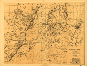
The country between Millikens Bend, La. and Jackson, Miss.
$17.95 – $47.95 -
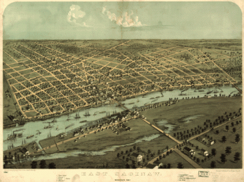
East Saginaw, Michigan, 1867 / drawn & published by A. Ruger
$17.95 – $47.95 -
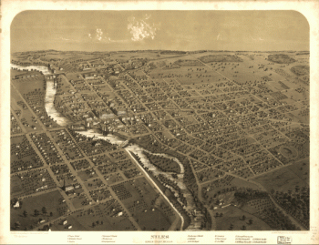
Niles, Berrien County, Michigan. Drawn & published by A. Ruger.
$17.95 – $47.95 -
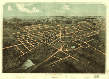
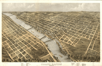
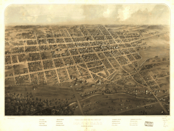
Grand Rapids, Michigan 1868. Drawn by A. Ruger.
$17.95 – $47.95 -
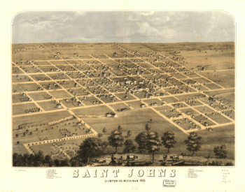
Saint Johns, Clinton Co., Michigan 1868. Drawn by A. Ruger.
$17.95 – $47.95 -
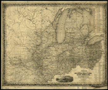
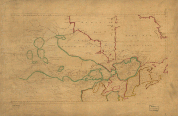
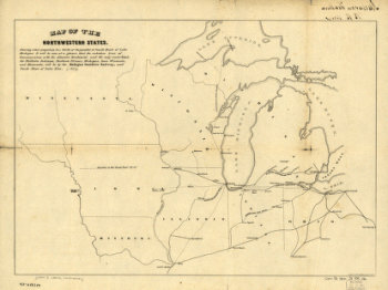
Map of the northwestern states
$17.95 – $47.95 -
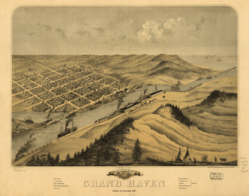
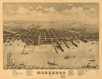
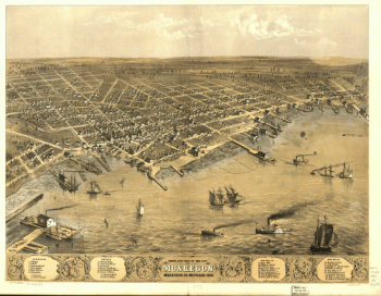
Muskegon, Michigan 1874.
$17.95 – $47.95 -
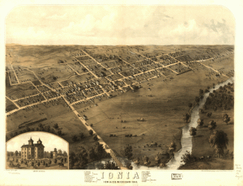
Ionia, Ionia Co., Michigan 1868. Drawn by A. Ruger.
$17.95 – $47.95 -
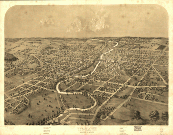
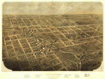
Saginaw City [Michigan 1867] Drawn from nature by A. Ruger.
$17.95 – $47.95 -
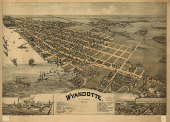
Wyandotte, Michigan 1896. Drawn by T. M. Fowler.
$17.95 – $47.95 -
Skeleton map
$17.95 – $47.95 -
nton Harbor, Mich. 1889.
$17.95 – $47.95 -
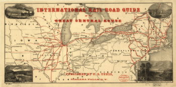
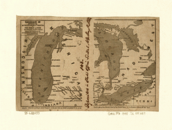
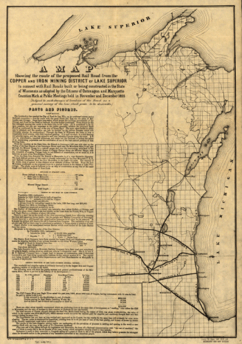
International rail road guide of the Great Central Route.
$17.95 – $47.95 -
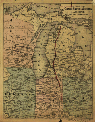
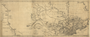
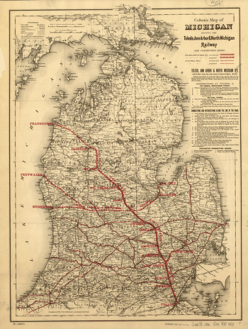
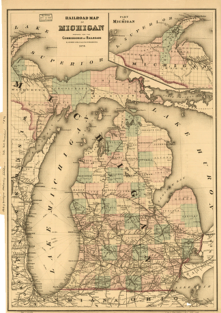
Railroads in Michigan, with steamboat routes on the Great Lakes
$17.95 – $47.95 -
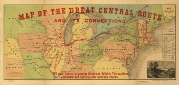
Map of the Great Central Route and its connections
$17.95 – $47.95
![Saginaw City [Michigan 1867] Drawn from nature by A. Ruger.](https://www.ushistoricalarchive.com/wp-content/uploads/nc/data/products/im/sm/mi/b22-350x275.gif)
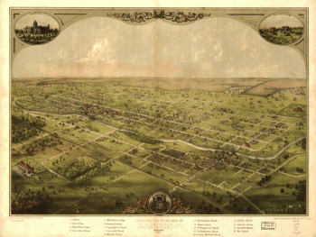
![Panoramic view of the city of Jackson, Michigan 1881. [By] A. Ruger. Beck & Pauli Lith.](https://www.ushistoricalarchive.com/wp-content/uploads/nc/data/products/im/sm/mi/b36-350x228.gif)