-

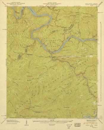
North Carolina. – Tapoco
$17.95 – $47.95 -
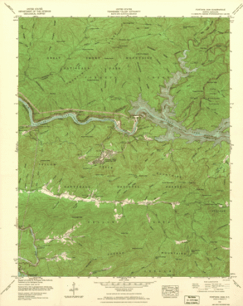
North Carolina. – Fontana Dam
$17.95 – $47.95 -
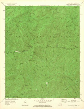
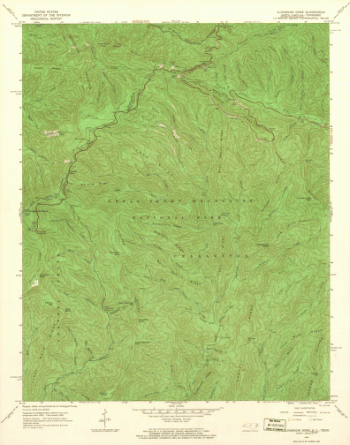
North Carolina. – Thunderhead Mountain
$17.95 – $47.95 -
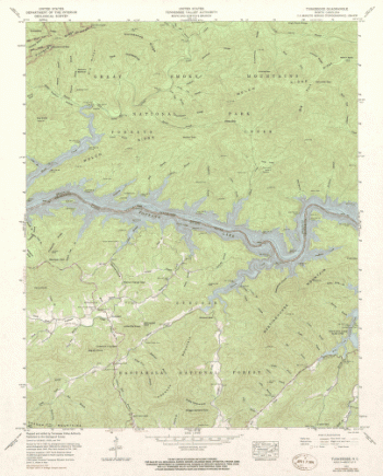
North Carolina. – Tuskeegee
$17.95 – $47.95 -
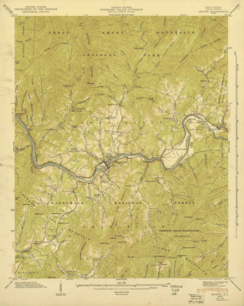
North Carolina. – Bryson
$17.95 – $47.95 -
North Carolina. – Clingmans Dome
$17.95 – $47.95 -
North Carolina. – Smokemont
$17.95 – $47.95 -
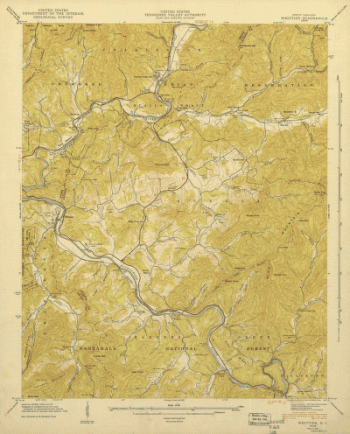
North Carolina. – Whittier
$17.95 – $47.95 -
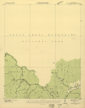
North Carolina. – Bunches Bald
$17.95 – $47.95 -
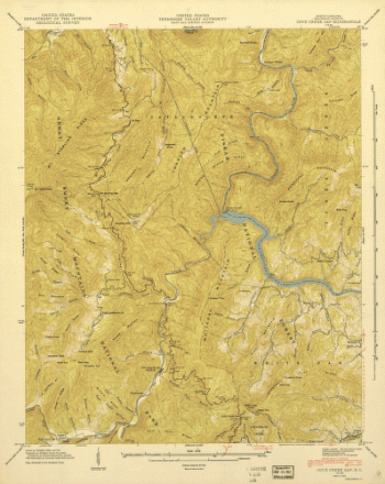
North Carolina. – Cove Creek
$17.95 – $47.95 -
North Carolina. – Luftee Knob
$17.95 – $47.95 -
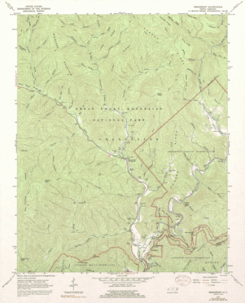
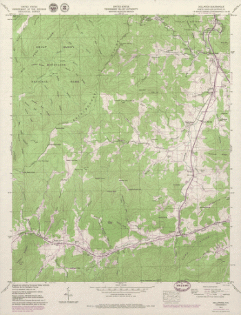
North Carolina. – Dellwood
$17.95 – $47.95 -
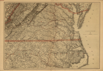
Southern Virginia and northern North Carolina
$17.95 – $47.95 -
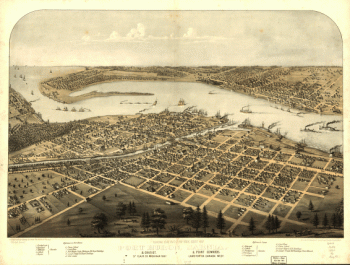
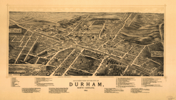
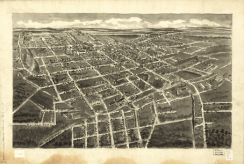
Bird's-eye view of the city of Durham, North Carolina 1891.
$17.95 – $47.95 -
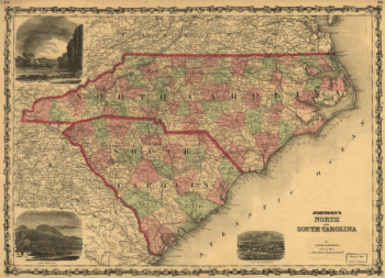
Johnson's North and South Carolina.
$17.95 – $47.95 -
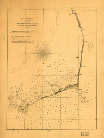
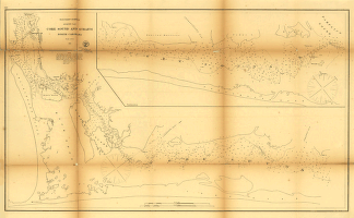
Core Sound and Straits, North Carolina.
$17.95 – $47.95 -
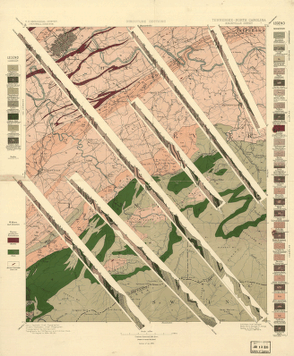
Tennessee-North Carolina.
$17.95 – $47.95 -
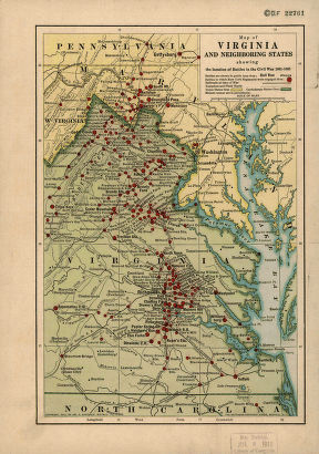
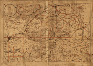
Map of the seat of war in Virginia.
$17.95 – $47.95 -
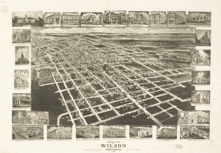
Birds eye view of Wilson, North Carolina 1908.
$17.95 – $47.95 -
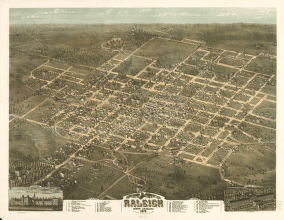
Bird's eye view of the city of Raleigh, North Carolina 1872.
$17.95 – $47.95 -
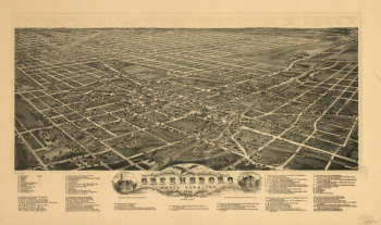
Bird's eye view of the city of Greensboro, North Carolina. 1891.
$17.95 – $47.95 -
Bird's-eye-view of Statesville, North Carolina,
$17.95 – $47.95 -
Bird's-eye-view of Hickory, North Carolina.
$17.95 – $47.95 -
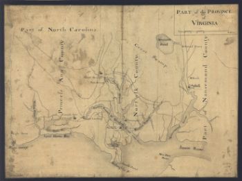
Part of the Province of Virginia.
$17.95 – $47.95 -
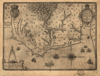
Americæ pars, nunc Virginia dicta : primum ab Anglis inuenta
$17.95 – $47.95 -
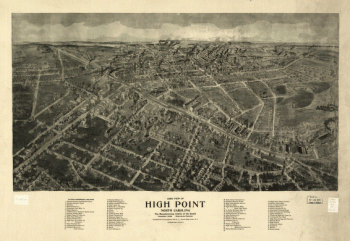
Aero view of High Point, North Carolina by J. J. Farris.
$17.95 – $47.95 -
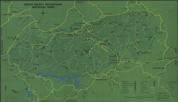
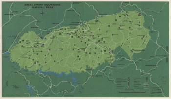
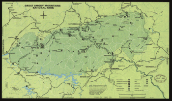
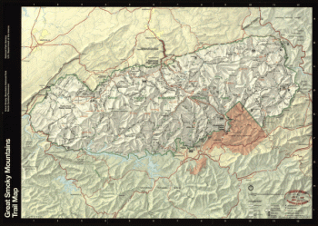
Great Smoky Mountains National Park. 1971.
$17.95 – $47.95 -
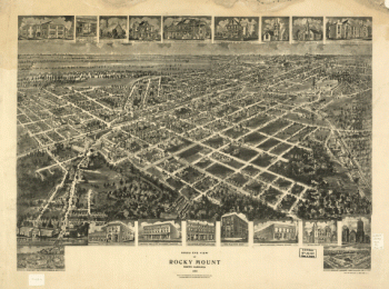
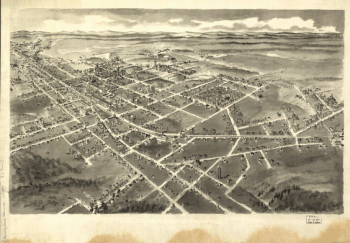
Bird's eye view of Rocky Mount, North Carolina 1907.
$17.95 – $47.95 -
Great Smoky Mountains National Park. 1971.
$17.95 – $47.95 -
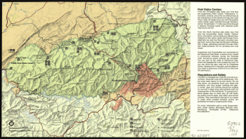
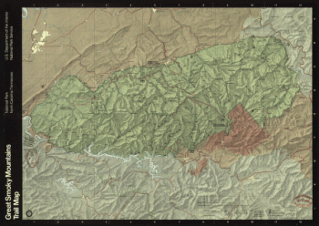
Great Smoky Mountains National Park, North Carolina/Tennessee
$17.95 – $47.95 -
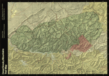
Great Smoky Mountains National Park
$17.95 – $47.95 -
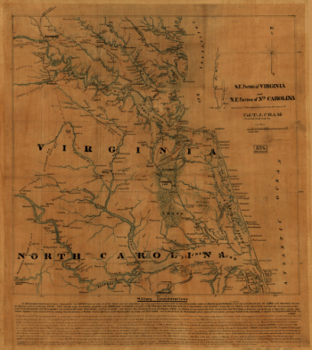
S.E. portion of Virginia and N.E. portion of N'th Carolina
$17.95 – $47.95
![Calumet, Hecla & Red Jacket, Mich. : 1881 / [signed] H. Wellge, Milw. ; Beck & Pauli, lith., Milwaukee, Wis.](https://www.ushistoricalarchive.com/wp-content/uploads/nc/data/products/im/sm/mi/b7-350x213.gif)
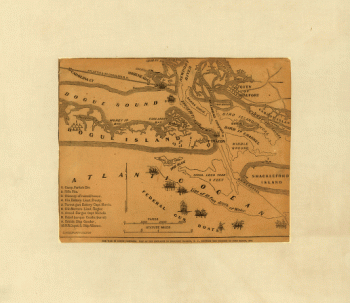

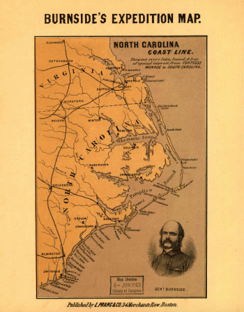
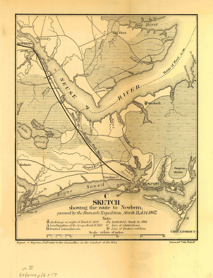
![Sketch showing route of the Burnside expedition [to Roanoke Island, N.C., February 6, 1862]](https://www.ushistoricalarchive.com/wp-content/uploads/nc/data/products/im/sm/nc/b46-350x765.gif)