-

A Sarsi woman 1926
$17.95 -
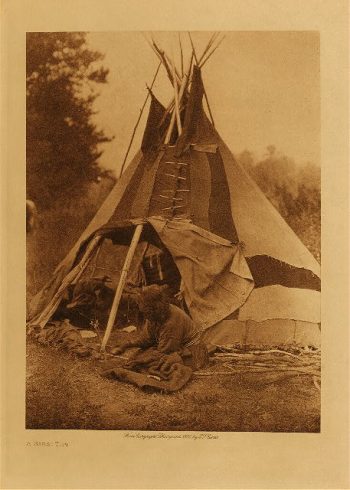
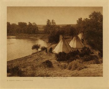
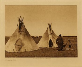
A Sarsi tipi 1926
$17.95 -
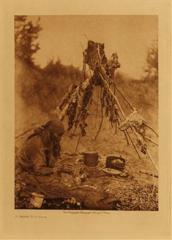
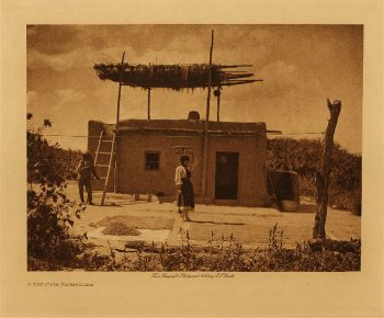
A Sarsi kitchen 1926
$17.95 -
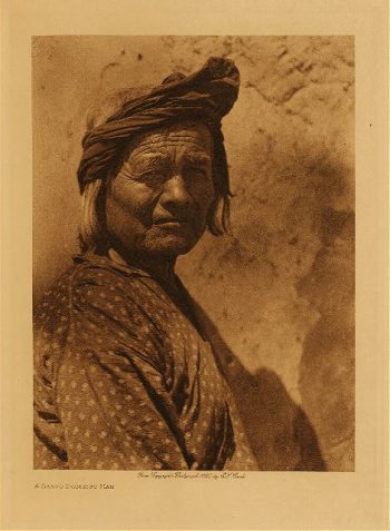
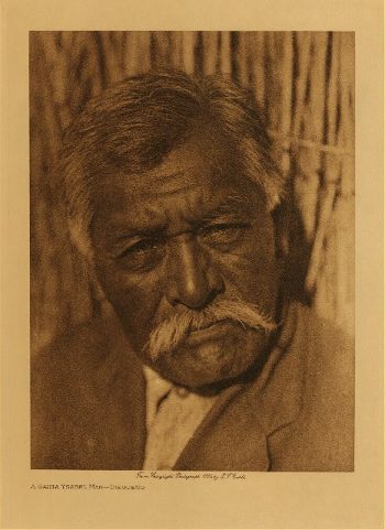
A Santo Domingo man 1925
$17.95 -
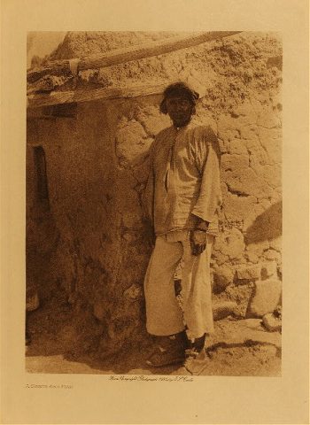
A Santa Clara man 1905
$17.95 -
A Santa Ana man 1925
$17.95 -
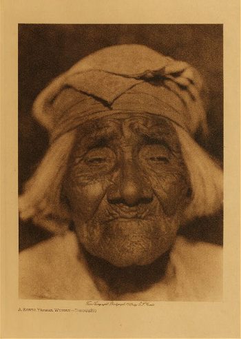
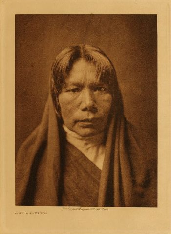
A San Juan matron 1905
$17.95 -
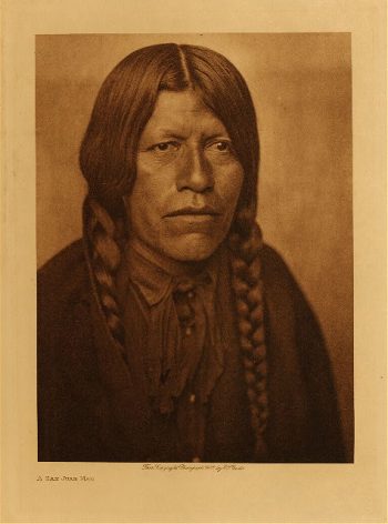
A San Juan man 1905
$17.95 -
A San Juan home 1905
$17.95 -
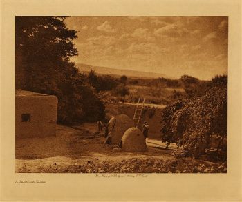
A San Juan farmhouse 1925
$17.95 -
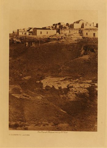
A rner of L
$17.95 -
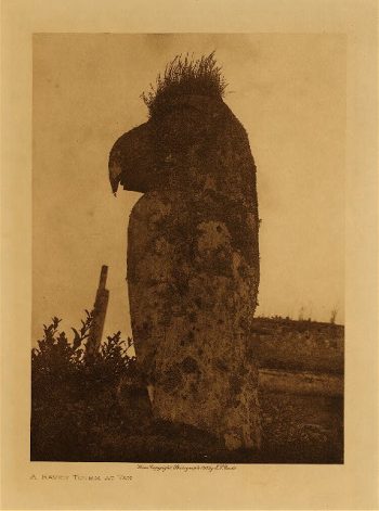
A raven totem at Yan 1915
$17.95 -
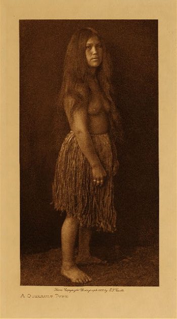
A Quinault type 1910
$17.95 -
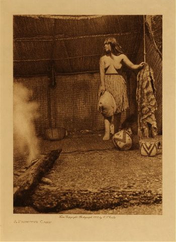
A primitive camp 1912
$17.95 -
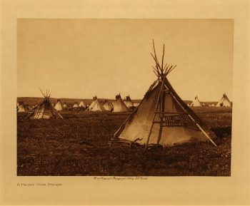
A prairie camp 1908
$17.95 -
A prairie camp (Piegan) 1911
$17.95 -
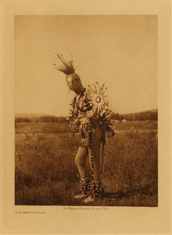
A Ponca dancer 1927
$17.95 -
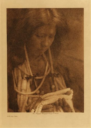
A Pomo girl 1924
$17.95 -
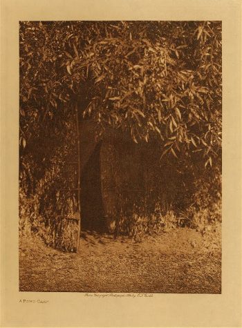
A Pomo camp 1924
$17.95 -
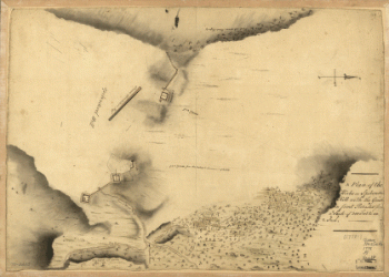
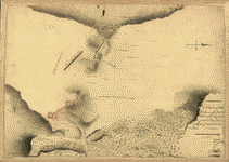
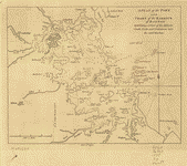
A Plan of the works on Spikendevil Hill with the ground in front
$17.95 – $47.95 -
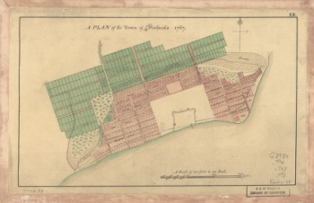
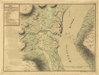
A Plan of the town of Pensacola, 1767
$17.95 – $47.95 -
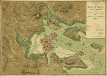
A plan of the town of Boston and its environs
$17.95 – $47.95 -
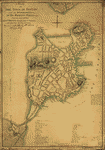
A plan of the town of Boston
$17.95 – $47.95 -
A plan of the town of Boston
$17.95 – $47.95 -
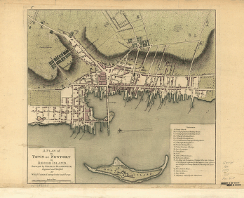
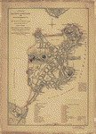
A plan of the town and harbour of Boston
$17.95 – $47.95 -
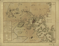
A plan of the town and chart of the harbour of Boston
$17.95 – $47.95 -
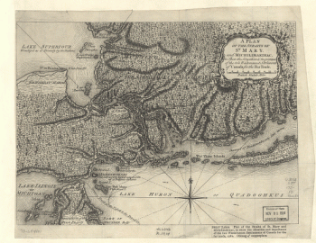
A Plan of the Straits of St. Mary, and Michilimakinac
$17.95 – $47.95 -
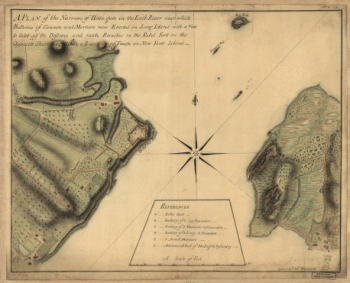
A plan of the Narrows of Hells-gate in the East River
$17.95 – $47.95 -
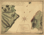
A plan of the Narrows of Hells-gate in the East River
$17.95 – $47.95 -
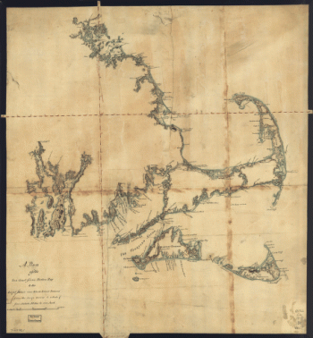
A Plan of the late Province of Main as far as Kennebeck River
$17.95 – $47.95 -
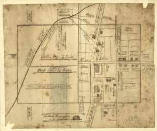
A plan of the lands in New London
$17.95 – $47.95 -
A plan of the harbour and peninsula of Cape Ann
$17.95 – $47.95 -
A plan of the Forts Montgomery & Clinton
$17.95 – $47.95