-
![Totopotomoy [1864]](https://www.ushistoricalarchive.com/wp-content/themes/savoy/assets/img/placeholder.png)
Totopotomoy [1864]
$17.95 – $47.95 -
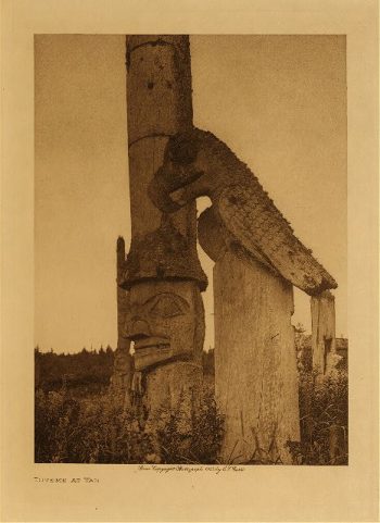
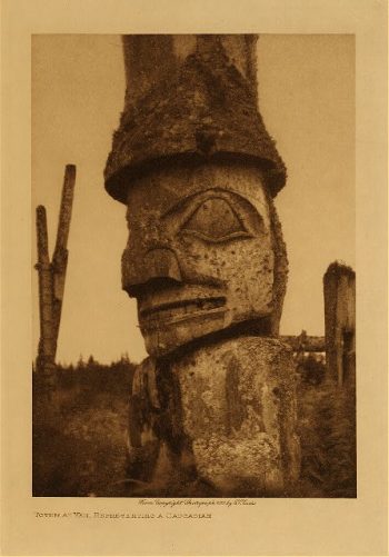
Totems at Yan 1915
$17.95 -
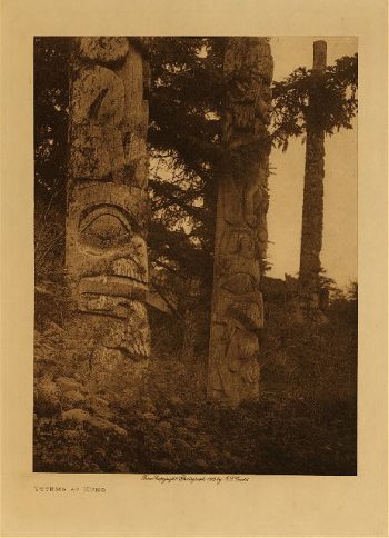
Totems at Kung 1915
$17.95 -
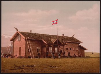
Topography of the federal city, 1791 : Washington D.C.
$17.95 – $47.95 -
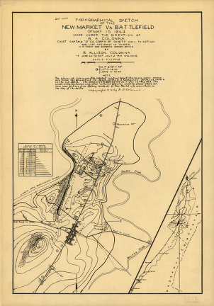
Topographical sketch of the environs of Murfreesboro, Tennessee
$17.95 – $47.95 -
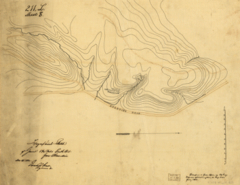
Topographical sketch of the battlefield of Stone's River
$17.95 – $47.95 -
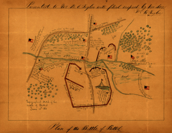
Topographical sketch of the Battle of Bethel
$17.95 – $47.95 -
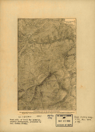
Topographical of the Bull Run battle-field of 1861
$17.95 – $47.95 -
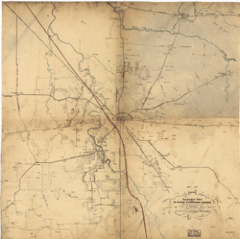
Topographical map of Nashville, Tenn.
$17.95 – $47.95 -
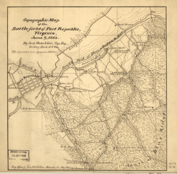
Topographic map of the battle-field of Port Republic
$17.95 – $47.95 -
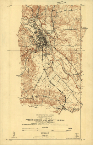
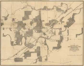
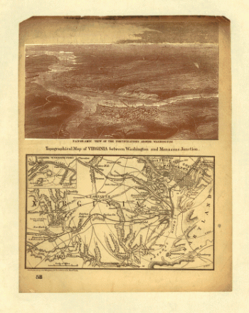
Topographic map of Fredericksburg and vicinity, Virginia
$17.95 – $47.95 -

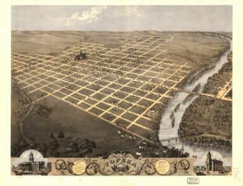
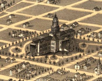
Topeka Kansas 1869
$17.95 – $47.95 -
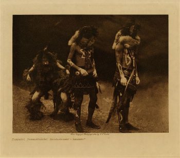
Tonenili (Navaho) 1904
$17.95 -
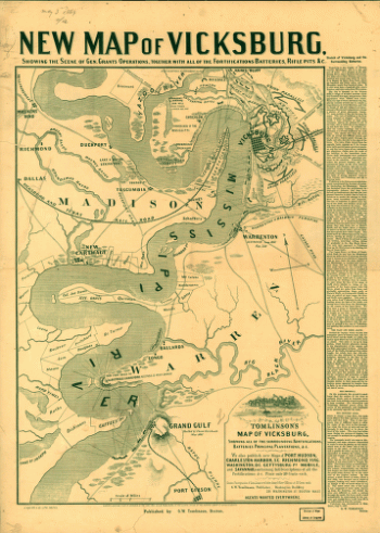
Tomlinson's map of Vicksburg
$17.95 – $47.95

![Totopotomoy [1864]](https://www.ushistoricalarchive.com/wp-content/uploads/nc/data/products/im/cw/va3/b27-350x223.gif)
![TorHill], Glastonbury, England](https://www.ushistoricalarchive.com/wp-content/uploads/nc/data/products/ppmsc/08400v-350x261.jpg)


![Topographic map of West Point, Constitution Island, and vicinity, N.Y.] / T.B.J. Weld.](https://www.ushistoricalarchive.com/wp-content/uploads/nc/data/products/im/sm/ny/b83-350x414.gif)