-

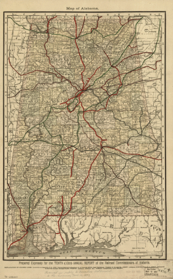
Alabama
$17.95 – $47.95 -
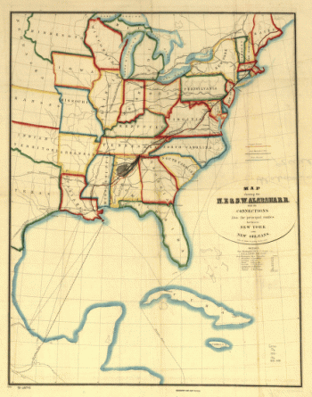
N.E. & S.W. Alabama Railroad
$17.95 – $47.95 -
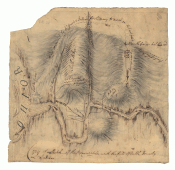
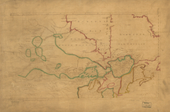
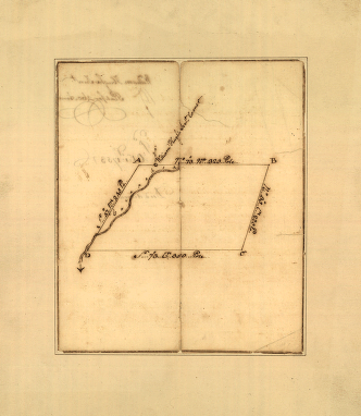
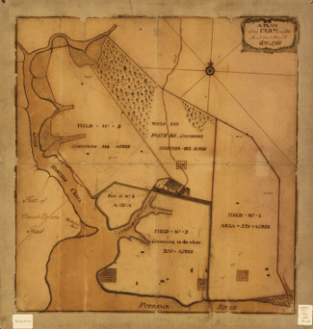
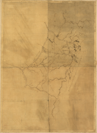
A plan of my farm on Little Huntg Creek & Potomk R G W
$17.95 – $47.95 -
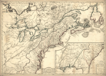
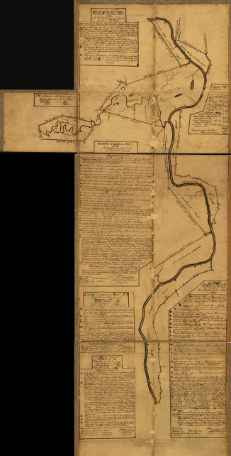
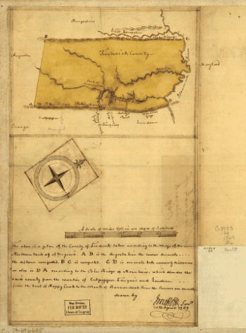
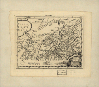
Map of the county of Frederick, 1769 Drawn by J Moffett
$17.95 – $47.95 -
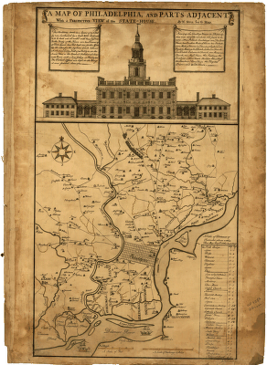
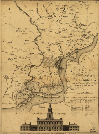
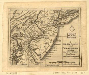
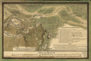
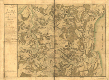
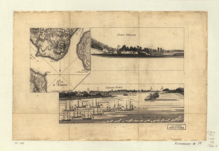
Plan of part of western front
$17.95 – $47.95 -
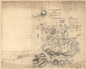
Battle of Brandywine, 11 Septr 1777
$17.95 – $47.95 -
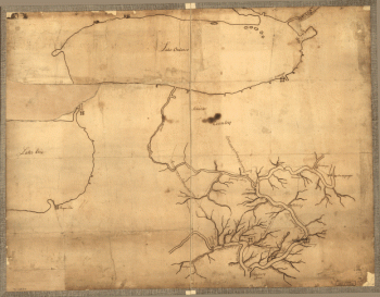
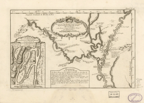
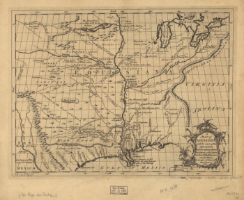
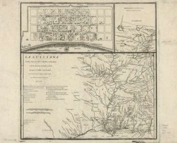
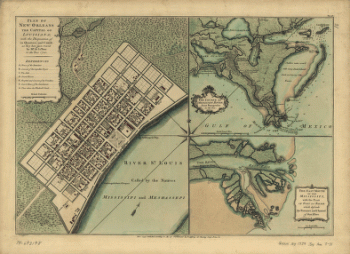
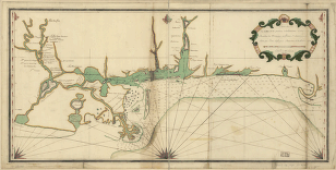
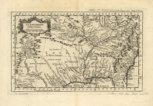
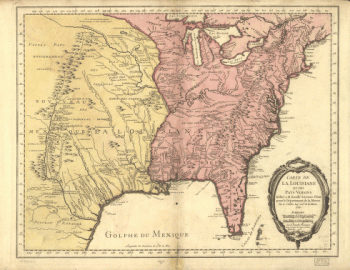
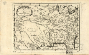
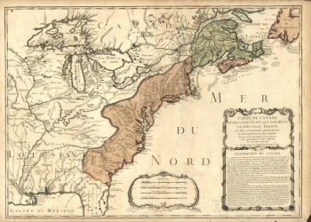
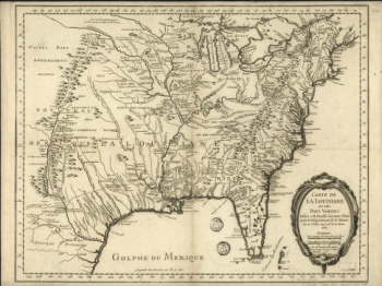
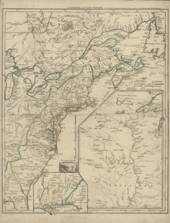
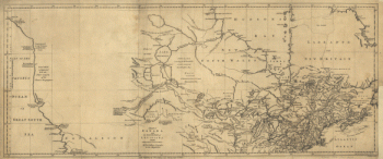
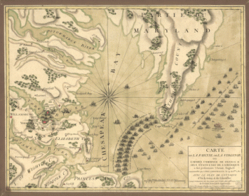
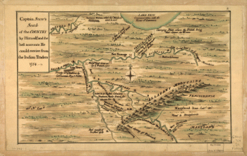
La Louisiane et pays voisins
$17.95 – $47.95
![[Zehn Karten und Ansichten den Schlachtfelden des amerikanischen Unabhangigkeitskreiges in den Staaten Pennsylvanien und New York]](https://www.ushistoricalarchive.com/wp-content/uploads/nc/data/products/im/rw/south/b53-350x239.gif)
![[Zehn Karten und Ansichten den Schlachtfelden des amerikanischen Unabhangigkeitskreiges in den Staaten Pennsylvanien und New York]](https://www.ushistoricalarchive.com/wp-content/uploads/nc/data/products/im/rw/south/b52-350x242.gif)
![[Zehn Karten und Ansichten den Schlachtfelden des amerikanischen Unabhangigkeitskreiges in den Staaten Pennsylvanien und New York]](https://www.ushistoricalarchive.com/wp-content/uploads/nc/data/products/im/rw/south/b51-350x242.gif)
![[Zehn Karten und Ansichten den Schlachtfelden des amerikanischen Unabhangigkeitskreiges in den Staaten Pennsylvanien und New York]](https://www.ushistoricalarchive.com/wp-content/uploads/nc/data/products/im/rw/south/b50-350x242.gif)
![[Zehn Karten und Ansichten den Schlachtfelden des amerikanischen Unabhangigkeitskreiges in den Staaten Pennsylvanien und New York]](https://www.ushistoricalarchive.com/wp-content/uploads/nc/data/products/im/rw/south/b49-350x246.gif)
![[Zehn Karten und Ansichten den Schlachtfelden des amerikanischen Unabhangigkeitskreiges in den Staaten Pennsylvanien und New York]](https://www.ushistoricalarchive.com/wp-content/uploads/nc/data/products/im/rw/south/b48-350x243.gif)
![[Zehn Karten und Ansichten den Schlachtfelden des amerikanischen Unabhangigkeitskreiges in den Staaten Pennsylvanien und New York]](https://www.ushistoricalarchive.com/wp-content/uploads/nc/data/products/im/rw/south/b47-350x244.gif)
![[Zehn Karten und Ansichten den Schlachtfelden des amerikanischen Unabhangigkeitskreiges in den Staaten Pennsylvanien und New York]](https://www.ushistoricalarchive.com/wp-content/uploads/nc/data/products/im/rw/south/b46-350x245.gif)
![[Zehn Karten und Ansichten den Schlachtfelden des amerikanischen Unabhangigkeitskreiges in den Staaten Pennsylvanien und New York]](https://www.ushistoricalarchive.com/wp-content/uploads/nc/data/products/im/rw/south/b45-350x241.gif)
![[Zehn Karten und Ansichten den Schlachtfelden des amerikanischen Unabhangigkeitskreiges in den Staaten Pennsylvanien und New York]](https://www.ushistoricalarchive.com/wp-content/uploads/nc/data/products/im/rw/south/b44-350x243.gif)
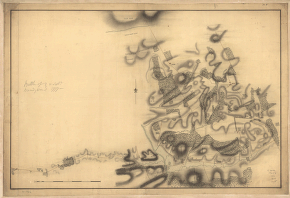
![British camp at Trudruffrin from [sic] with the attack made by Major General Grey against the rebels near White Horse Tavern](https://www.ushistoricalarchive.com/wp-content/uploads/nc/data/products/im/rw/south/b41.gif)