-

Savannah and its environs
$17.95 – $47.95 -
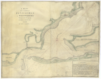
Map of West Florida B Romans, inv delin & in AEre incidit
$17.95 – $47.95 -
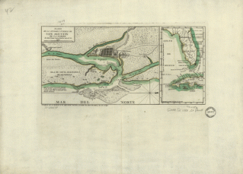
Plano de la ciudad y puerto de San Agustin de la Florida
$17.95 – $47.95 -
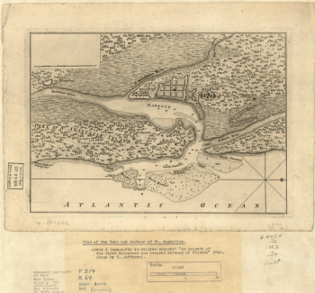
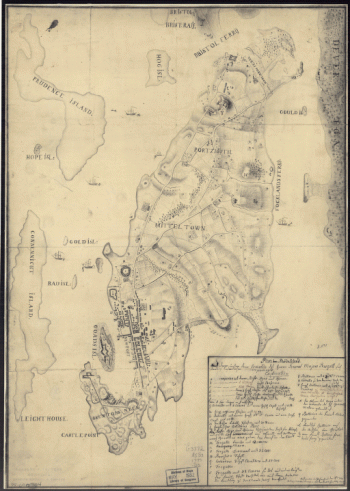
Plan of the town and harbour of St Augustine
$17.95 – $47.95 -
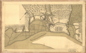
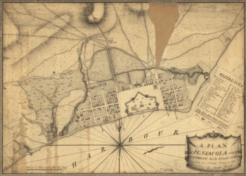
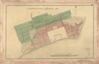
A Plan of the town of Pensacola, 1767
$17.95 – $47.95 -
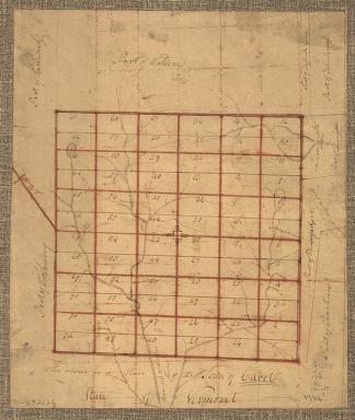
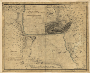
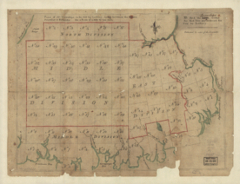
The Above is a plan of the town of Cabot, State of Vermont
$17.95 – $47.95 -
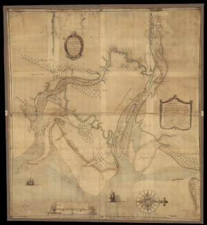
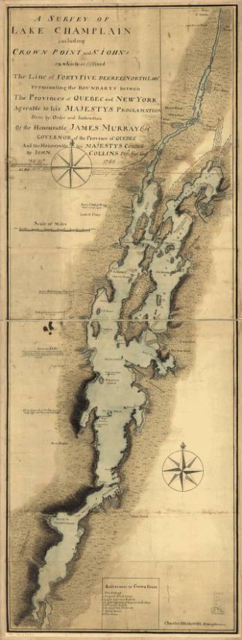
A survey of Lake Champlain
$17.95 – $47.95 -
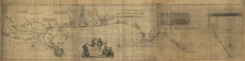
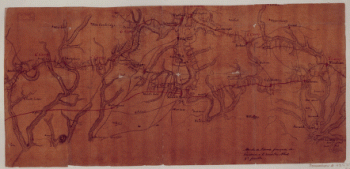
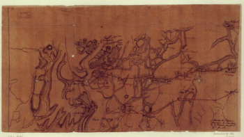
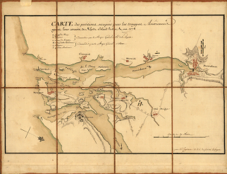
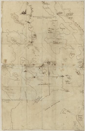
Marche de l'armee francaise de Providence a la Rivière du Nord
$17.95 – $47.95 -
Marche de l'armee francaise de Providence a la Rivière du Nord
$17.95 – $47.95 -
Marche de l'armee francaise de Providence a la Rivière du Nord
$17.95 – $47.95 -
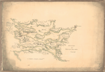
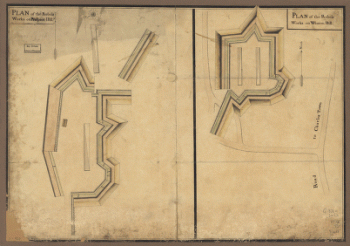
Attacks upon Rhode Island, Augt 1778
$17.95 – $47.95 -
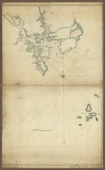
Portsmouth, New Hampshire
$17.95 – $47.95 -
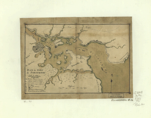
Plan du port de Portsmouth leve a vue
$17.95 – $47.95 -
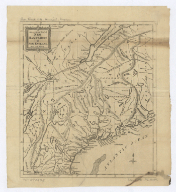
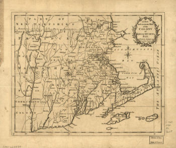
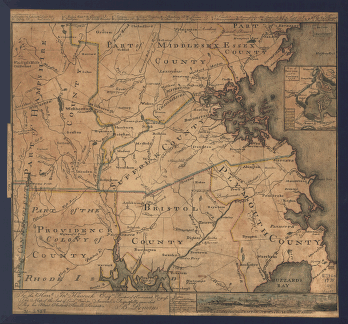
New Hampshire
$17.95 – $47.95 -
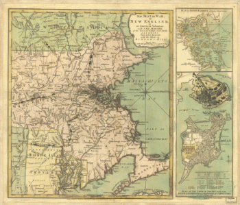
Coast of New England from Chatham Harbor to Narragansett Bay
$17.95 – $47.95 -
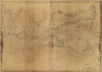
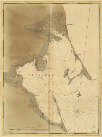
Chart of Plymouth Bay
$17.95 – $47.95 -
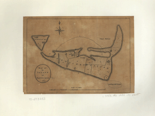
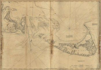
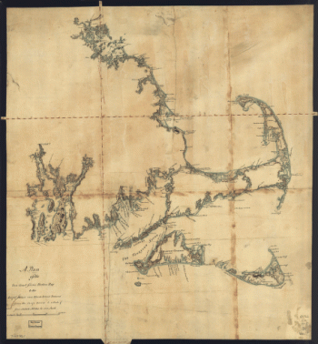
Map of the island of Nantucket
$17.95 – $47.95 -
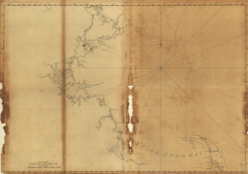
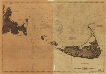
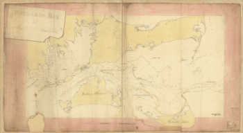
Buzzards Bay and shoals of Nantucket
$17.95 – $47.95 -
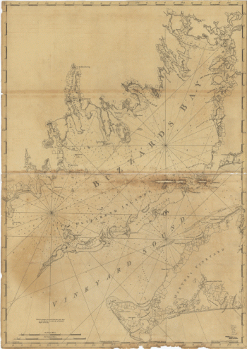
Chart of Buzzards Bay and Vineyard Sound
$17.95 – $47.95 -
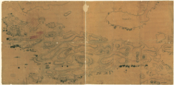
A Plan of the late Province of Main as far as Kennebeck River
$17.95 – $47.95 -
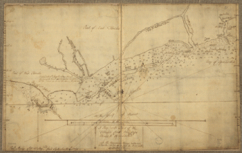
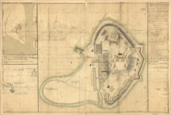
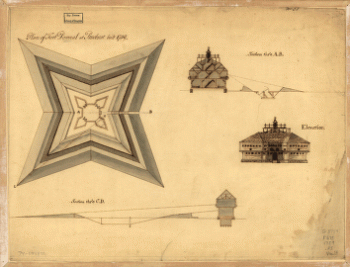
Plan of Fort Pownal at Penobscot built 1759
$17.95 – $47.95