Home
All Products
Historic Maps
American Indian Maps
Birds Eye View Maps
Civil War Maps
Panoramic Maps
Railroad Maps
Revolutionary War Maps
State Maps
Historic Prints
Civil War Prints
Civil War Posters
Historic Portraits
Presidential Portraits
Contact Us
0
0
press
Enter
to search
Showing all results:
No products found.
Search
Search Product or SKU
×
Sort By
Default
Price: Low to High
Price: High to Low
Alphabetical
SKU
Categories
All
American Indian Maps
American Indian Photos
Birds Eye View Maps
CD Collections
Civil War Maps
Civil War Posters
Civil War Prints
Panoramic Maps
Photo-chromes
Presidential Portraits
Railroad Maps
Revolutionary War Maps
St. Augustine
State Maps
Part of Oxford and Cumberland counties, Me Drawn by S Greenleaf
$
17.95
–
$
47.95
The above plan is a discription of a new township containing the quantity of seven and a half mile of land & water, granted by the General Court to the proprietors of Bakerstown so call'd, lying & being in the county of Cumberland Deld at Fa
$
17.95
–
$
47.95
Coast of Maine showing Blue Hill Bay, Penobscot Bay, Belfast Bay, Islesboro Island, Deer Island, and other islands
$
17.95
–
$
47.95
Coast of Maine showing entrances of Blue Hill Bay, Isle of Haut Bay, and Penobscot Bay, with Owls Head, Vinalhaven Island, Isle au Haut, and other islands
$
17.95
–
$
47.95
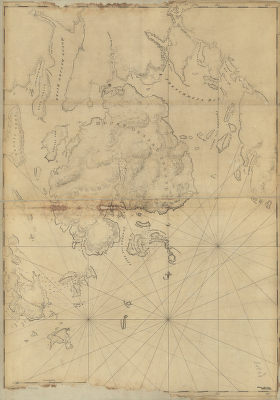
Mount Desert Island and neighboring coast of Maine
$
17.95
–
$
47.95
Coast of New England from Cape Elizabeth, Me to Newburyport, Mass
$
17.95
–
$
47.95
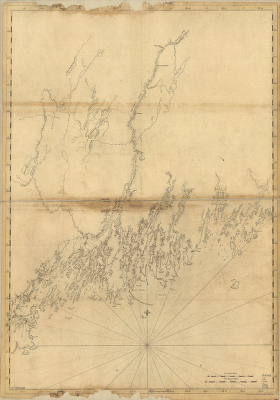
Coast of Maine from Salter Island to Portland Head
$
17.95
–
$
47.95
Coast of Maine from Frenchman Bay to Mosquito Harbor
$
17.95
–
$
47.95
Coast of Maine from Mosquito Head to Spurwink River
$
17.95
–
$
47.95
Coast of Maine from Rockland Harbor to Pemaquid Point
$
17.95
–
$
47.95
A new and accurate map of the colony of Massachusets Bay, in North America, from a late survey
$
17.95
–
$
47.95
Connecticut and parts adjacent At Amsterdam by Covens and Mortier and Covens Junior H Klockhoff, sculp
$
17.95
–
$
47.95
A new and accurate map of Connecticut and Rhode Island, from best authorities
$
17.95
–
$
47.95
A map of Connecticut and Rhode Island with Long Island Sound, &c
$
17.95
–
$
47.95
A map of the colonies in Connecticut and Rhode Island, divided by counties & townships, from best authorities
$
17.95
–
$
47.95
A sketch of New London & Groton with the attacks made on Forts Trumbull & Griswold by the British troops under the command of Brigr Genl Arnold, Sept 6th 1781
$
17.95
–
$
47.95
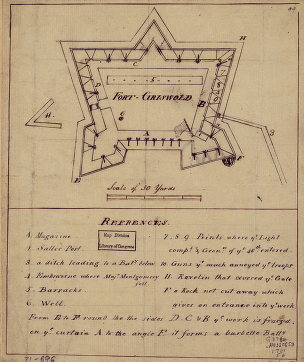
Fort-Griswold
$
17.95
–
$
47.95
Gov Tryon's expedition to Danbury, 1777
$
17.95
–
$
47.95
Colchester, May the: 6:th: Day: AD: 1765
$
17.95
–
$
47.95
A Map of Ticonderoga
$
17.95
–
$
47.95
Plan of The Narrows
$
17.95
–
$
47.95
Plan of the redoubts at Richmond on Staten Island, 30th October 1779
$
17.95
–
$
47.95
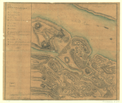
A Plan of the works on Spikendevil Hill with the ground in front
$
17.95
–
$
47.95
Plan of the encampment and position of the army under His Excelly Lt General Burgoyne at Braemus Heights
$
17.95
–
$
47.95
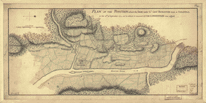
Plan of the position which the army under Lt Genl Burgoyne took at Saratoga
$
17.95
–
$
47.95
The encampment & position of the army under His Excy Lt Gl: Burgoyne at Swords's and Freeman's Farms
$
17.95
–
$
47.95
Position of the army on the 8th Octbr 1777
$
17.95
–
$
47.95
Position des Armees ameriquaine et francoise a Kings-ferry
$
17.95
–
$
47.95
Oyster Bay and Huntington Bay
$
17.95
–
$
47.95
Map of Orange and Rockland counties area of New York
$
17.95
–
$
47.95
Map of that part of Orange County lying to the north of the mountains of the highlands
$
17.95
–
$
47.95
Disposition of British troops, with fortifications north of Fort Knipehausen, ie Fort Washington to Fort Independence
$
17.95
–
$
47.95
Plan of the city of New York
$
17.95
–
$
47.95
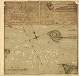
A plan of the Narrows of Hells-gate in the East River
$
17.95
–
$
47.95
A plan of the city and environs of New York in North America
$
17.95
–
$
47.95
A plan of the city of New-York & its environs to Greenwich
$
17.95
–
$
47.95
Plan of the city of New York
$
17.95
–
$
47.95
Map showing the Bowery Lane area of Manhattan
$
17.95
–
$
47.95
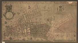
A plan of the city of New York from an actual survey
$
17.95
–
$
47.95
Plan of New York and Staten Islands with part of Long Island
$
17.95
–
$
47.95
Environs de New-York, de Long-Island, etc
$
17.95
–
$
47.95
Plan of New York and Staten Islands with part of Long Island
$
17.95
–
$
47.95
The country twenty five miles round New York
$
17.95
–
$
47.95
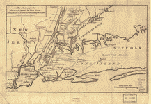
Map of the progress of His Majesty's armies in New York
$
17.95
–
$
47.95
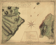
Plan of Governor's, Kennedy's, and Brown's Islands
$
17.95
–
$
47.95
A Map of the route from the city of Albany to the Fort Osswego on the Lake of Cataroque
$
17.95
–
$
47.95
Nord de l'Ile de New-York
$
17.95
–
$
47.95
New York Island – Military and unfinished
$
17.95
–
$
47.95
1
2
3
…
20
21
22
23
24
25
26
…
206
207
208
Load More
All products loaded.
Search Product or SKU
×
Home
All Products
Historic Maps
American Indian Maps
Birds Eye View Maps
Civil War Maps
Panoramic Maps
Railroad Maps
Revolutionary War Maps
State Maps
Historic Prints
Civil War Prints
Civil War Posters
Historic Portraits
Presidential Portraits
Contact Us
Cart
0
Cart
Close
Updating…
No products in the cart.
Continue shopping