-


Boscobel WI 1869
$17.95 – $47.95 -
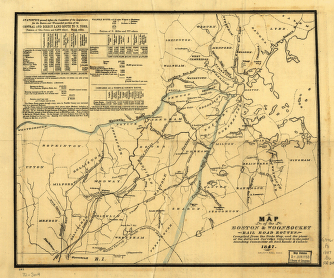
Boston & Woonsocket Railroad
$17.95 – $47.95 -
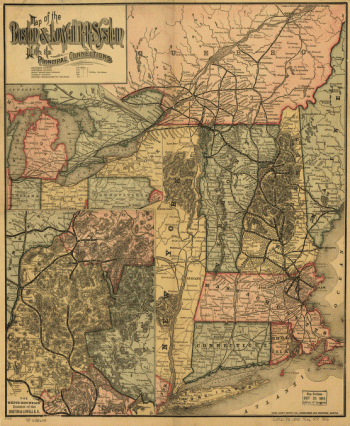
Boston and Lowell Railroad Corporation
$17.95 – $47.95 -
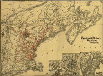
Boston and Maine Railroad
$17.95 – $47.95 -
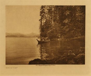
Boston Cove 1915
$17.95 -
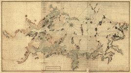
Boston Harbour, with the surroundings
$17.95 – $47.95 -
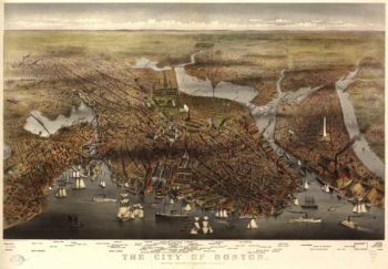
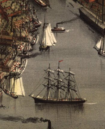
Boston MA Color 1873
$17.95 – $47.95 -
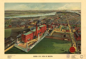
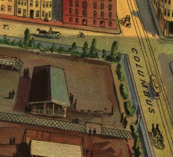
Boston MA Color 1902
$17.95 – $47.95 -
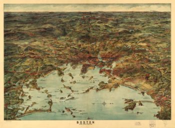
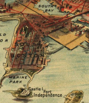
Boston MA Color 1905
$17.95 – $47.95 -
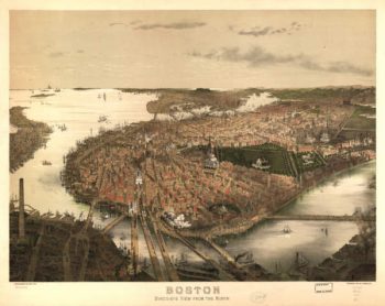
Boston Massachusetts 1870s
$17.95 – $47.95 -
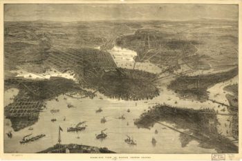
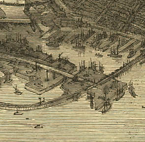
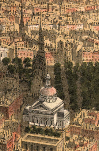
Boston Massachusetts 1877
$17.95 – $47.95 -
Boston, Hoosac Tunnel, and Western Railway
$17.95 – $47.95 -
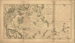
Boston, its environs and harbour
$17.95 – $47.95 -
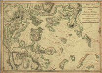
Boston, its environs and harbour
$17.95 – $47.95 -
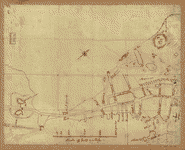
Boston, S West part No 25
$17.95 – $47.95 -
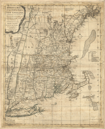
Bowles's map of the seat of war in New England
$17.95 – $47.95 -
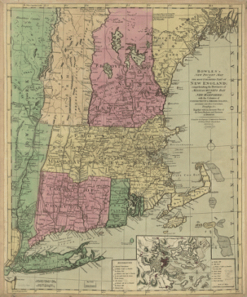
Bowles's new pocket map of the United States of America
$17.95 – $47.95 -
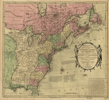
Bowles's new pocket map of the United States of America
$17.95 – $47.95 -
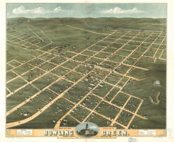
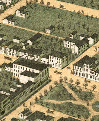
Bowling Green Kentucky 1871
$17.95 – $47.95 -
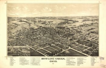
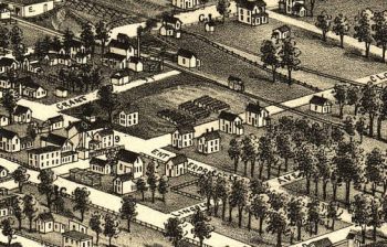
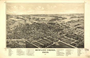
Bowling Green OH 1888
$17.95 – $47.95 -
Bowling Green, Ohio 1888. Burleigh Lith. Est.
$17.95 – $47.95 -
Brainerd MN 1914
$17.95 – $47.95