-


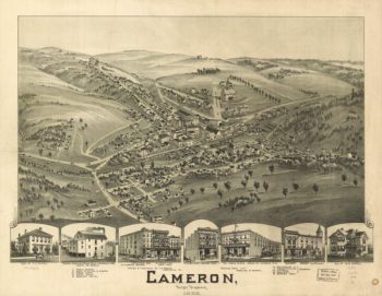
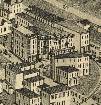
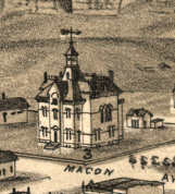
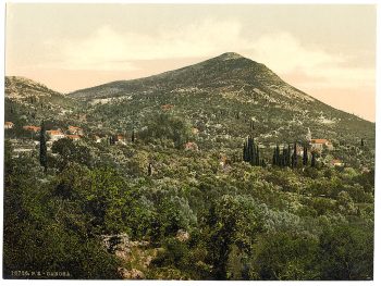
Cameron WV 1899
$17.95 – $47.95 -
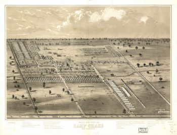
Camp Chase OH 186?
$17.95 – $47.95 -
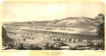
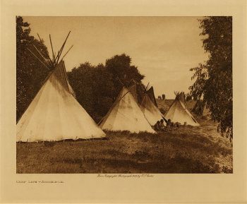
Camp Dennison : taken from Old Aunt Roady's Hill
$17.95 – $47.95 -
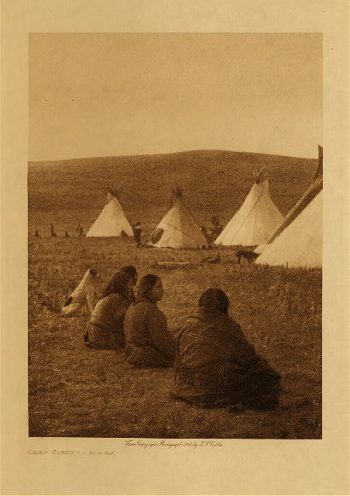
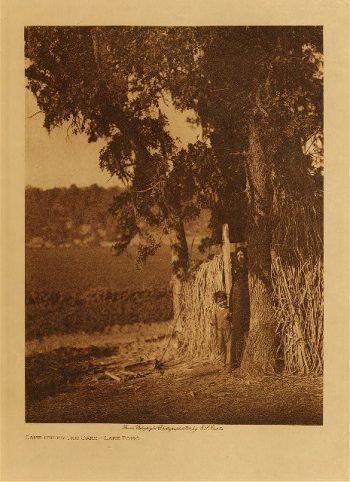
Camp gossips (Arikara) 1908
$17.95 -
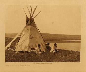
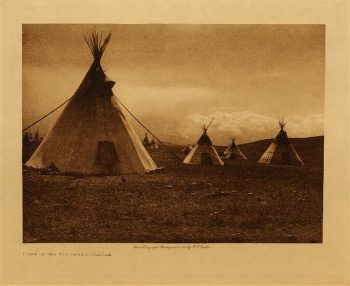
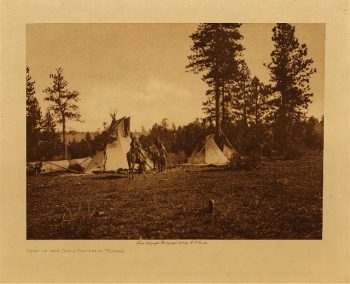
Camp life (Assiniboin) 1908
$17.95 -
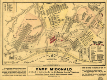
Camp McDonald
$17.95 – $47.95 -
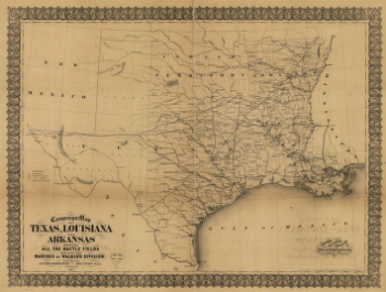
Campaign map of Texas, Louisiana and Arkansas
$17.95 – $47.95 -
Campaign map of Texas, Louisiana and Arkansas
$17.95 – $47.95 -
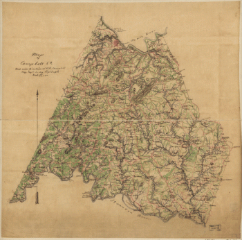
Campbell County
$17.95 – $47.95 -
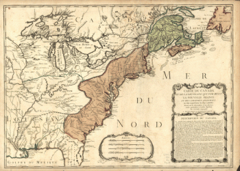
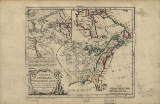
Canada and Louisiana
$17.95 – $47.95 -
Canada and Louisiane
$17.95 – $47.95 -
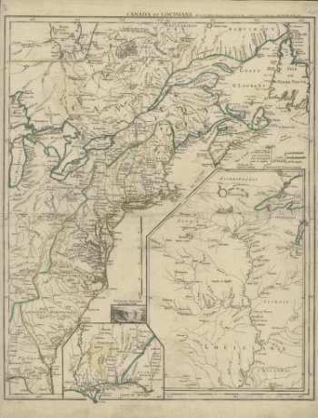
Canada et Louisiane
$17.95 – $47.95 -
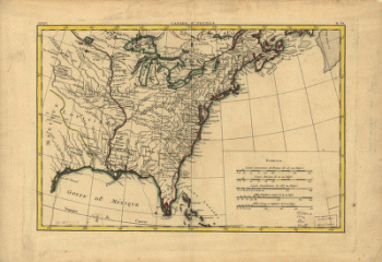
Canada et Louisiane
$17.95 – $47.95 -
Canada IIe. feuille, XXXV, B 32
$17.95 – $47.95 -

Canada Map Collection
$19.95 -
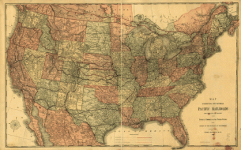
Canadian Pacific Railway Company
$17.95 – $47.95 -
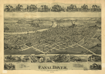
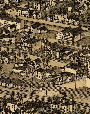
Canal Dover, Tuscarawas County, Ohio 1899. Drawn by A. E. Downs.
$17.95 – $47.95 -
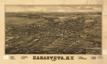
Canastota NY 1885
$17.95 – $47.95 -
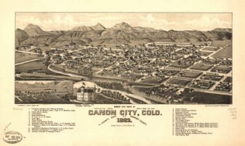
Canon City CO in 1882
$17.95 – $47.95 -
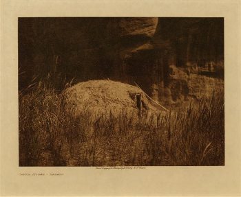
Cañon Hogan (Navaho) 1906
$17.95 -
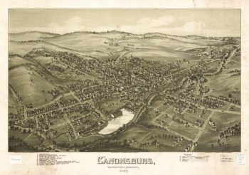
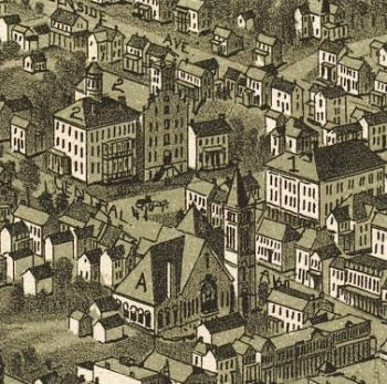
Canonsburg PA 1897
$17.95 – $47.95 -
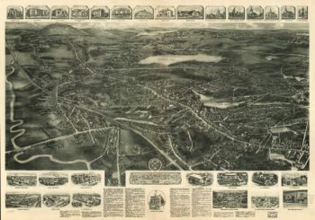
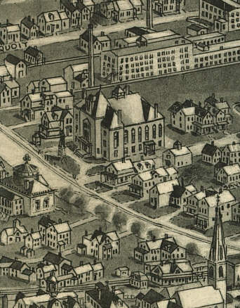
Canton Massachusetts 1917
$17.95 – $47.95 -
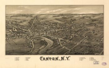
Canton NY 1885
$17.95 – $47.95