-

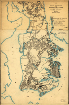
Yorktown to Williamsburg
$17.95 – $47.95 -
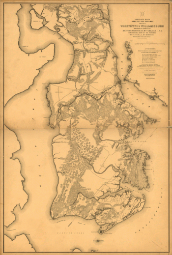
Yorktown to Williamsburg
$17.95 – $47.95 -
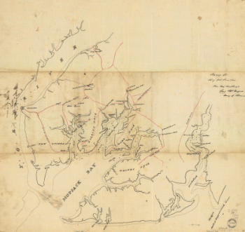
York River and Mobjack Bay, Va
$17.95 – $47.95 -
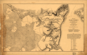
Official plan of the siege of Yorktown, Va
$17.95 – $47.95 -
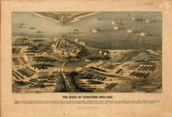
The siege of Yorktown, April 1862
$17.95 – $47.95 -
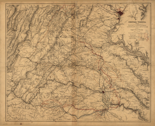
Central Virginia
$17.95 – $47.95 -
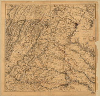
Central Virginia
$17.95 – $47.95 -
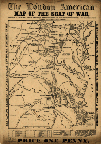
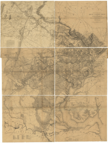
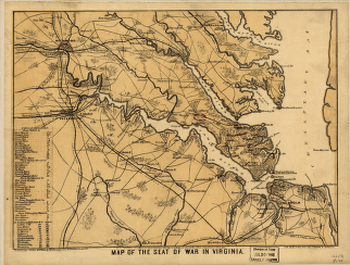
Map of the seat of war
$17.95 – $47.95 -
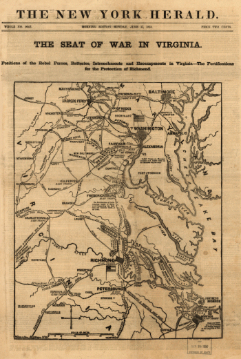
The seat of war in Virginia
$17.95 – $47.95 -
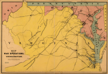
The war operations in Virginia & Maryland
$17.95 – $47.95 -
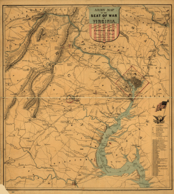
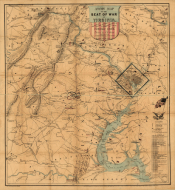
Army map of the seat of war in Virginia
$17.95 – $47.95 -
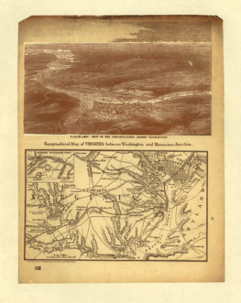
Virginia between Washington and Manassas Junction
$17.95 – $47.95 -
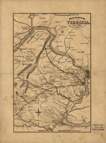
The seat of war in Virginia, Dec. 1, 1862
$17.95 – $47.95 -
North eastern Virginia and vicinity of Washington
$17.95 – $47.95 -
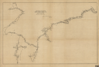
Route and positions, First Corps, Army of Va.
$17.95 – $47.95 -
The seat of war in Virginia
$17.95 – $47.95 -
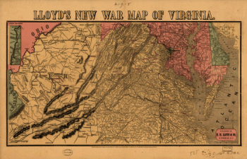
Lloyd's new war map of Virginia
$17.95 – $47.95 -
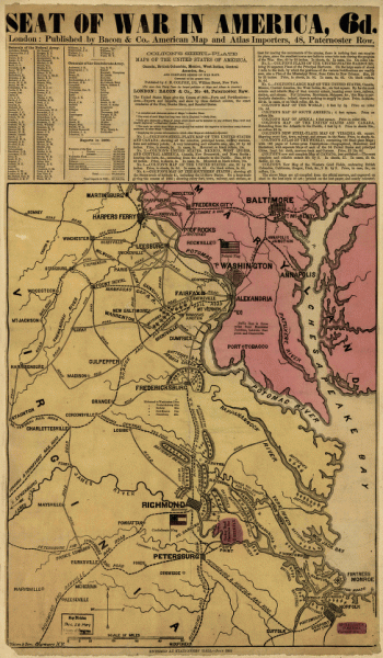
Seat of war in America, 6d
$17.95 – $47.95 -
Army map of the seat of war in Virginia
$17.95 – $47.95 -
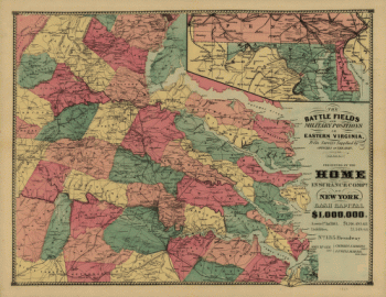
The battle fields and military positions in eastern Virginia
$17.95 – $47.95 -
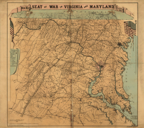
New map of the seat of war in Virginia and Maryland
$17.95 – $47.95 -
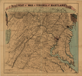
New map of the seat of war in Virginia and Maryland
$17.95 – $47.95 -
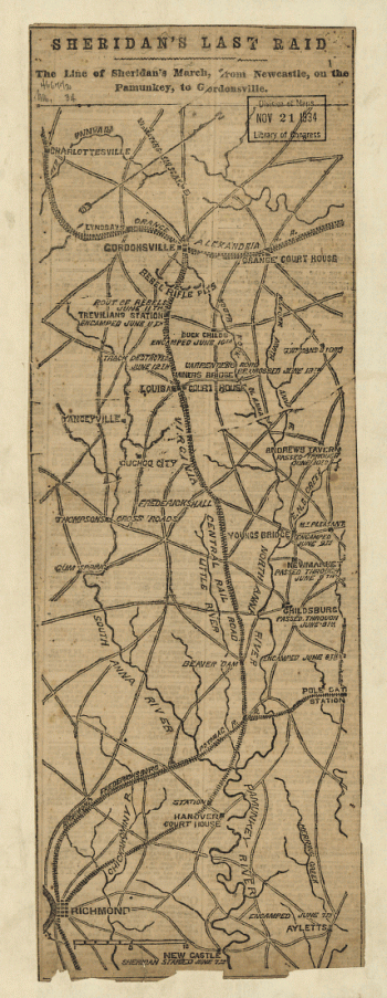
Sheridan's last raid
$17.95 – $47.95 -
Military map of south-eastern Virginia
$17.95 – $47.95 -
Military map of south-eastern Virginia
$17.95 – $47.95 -
The approaches from Washington to Richmond
$17.95 – $47.95 -
Magnus' historical war map
$17.95 – $47.95 -
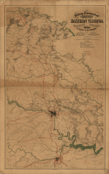
Military topographical map of eastern Virginia
$17.95 – $47.95 -
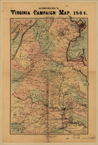
Schonberg's Virginia campaign map, 1864
$17.95 – $47.95 -
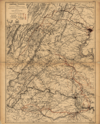
Central Virginia
$17.95 – $47.95 -
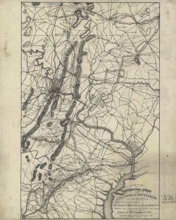
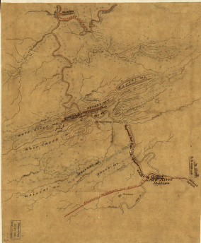
The Wilderness [1864]
$17.95 – $47.95 -
Route of the New River R.R.
$17.95 – $47.95 -
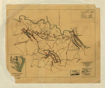
The Wilderness. [May 5-7, 1864]
$17.95 – $47.95 -
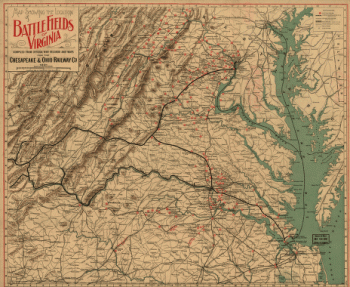
The locations of battle fields of Virginia
$17.95 – $47.95 -
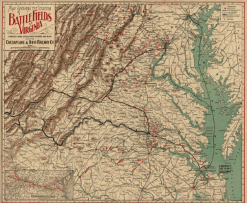
Locations of battle fields of Virginia
$17.95 – $47.95 -
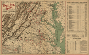
Battle fields of Virginia
$17.95 – $47.95 -
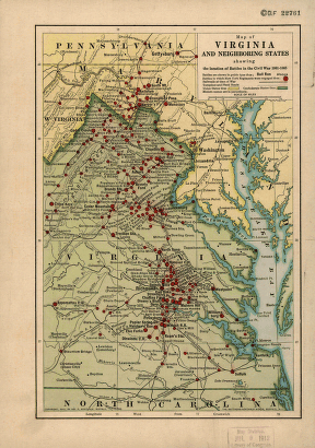
Virginia and neighboring states
$17.95 – $47.95 -
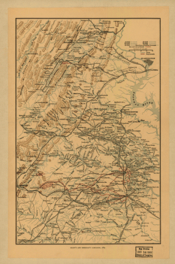
Grant's and Sheridan's campaigns, 1864 and 1865
$17.95 – $47.95 -
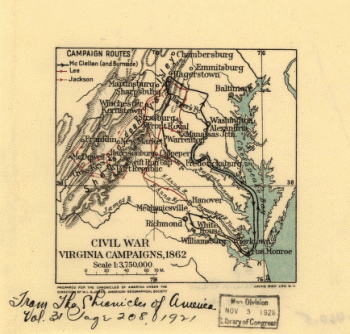
Civil War Virginia campaigns, 1862
$17.95 – $47.95 -
Index sheet of battlefield maps
$17.95 – $47.95 -
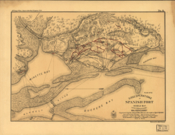
Approaches to Mobile, Ala. 1864
$17.95 – $47.95 -
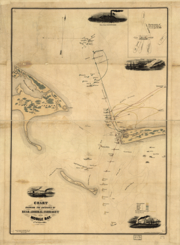
Plan of the battle of August 5, 1864. [Mobile Bay]
$17.95 – $47.95 -
Military map no. 54, prepared as basis for additional surveys
$17.95 – $47.95

![The Wilderness [1864]](https://www.ushistoricalarchive.com/wp-content/uploads/nc/data/products/im/cw/va3/b72-350x553.gif)
![The Wilderness. [May 5-7, 1864]](https://www.ushistoricalarchive.com/wp-content/uploads/nc/data/products/im/cw/va3/b75.gif)

![Plan of the battle of August 5, 1864. [Mobile Bay]](https://www.ushistoricalarchive.com/wp-content/uploads/nc/data/products/im/cw/al/b4-350x264.gif)
![Map of the defences of the city of Mobile. [1862-64] Engraved in the Engineer Bureau, War Dept](https://www.ushistoricalarchive.com/wp-content/uploads/nc/data/products/im/cw/al/b5.gif)