-

Battle of Fredericksburg
$19.95 -
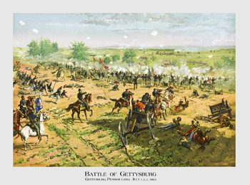
Battle of Gettysburg
$19.95 -
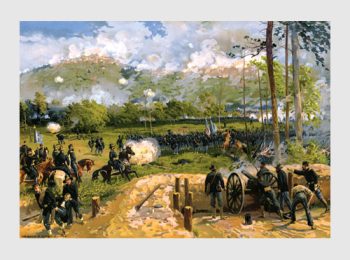
Battle of Kennesaw Mountain
$19.95 -
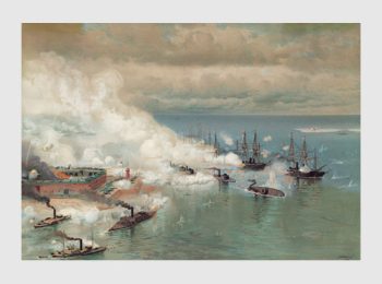
Battle of Mobile Bay
$19.95 -
Battle of Port Hudson
$19.95 -
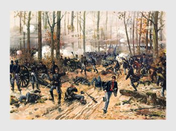
Battle of Shiloh
$19.95 -
Battle of Spotsylvania
$19.95 -
Kearsarge and Alabama
$19.95 -
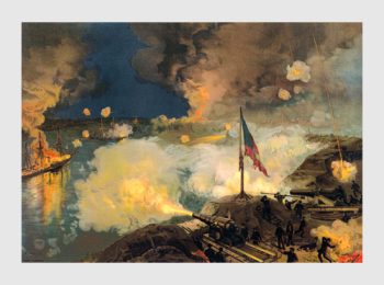
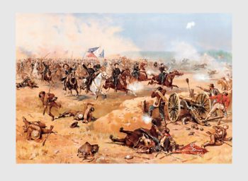
Siege of Vicksburg
$19.95 -
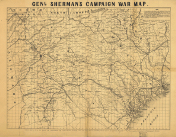
Genl. Sherman's campaign war map
$17.95 – $47.95 -
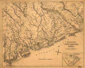
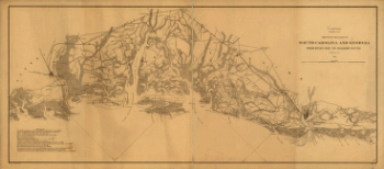
Northern Georgia and western and central South Carolina
$17.95 – $47.95 -
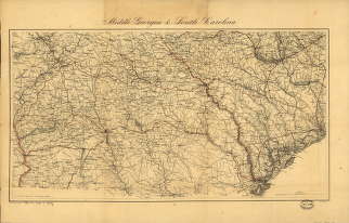
Middle Georgia & South Carolina
$17.95 – $47.95 -
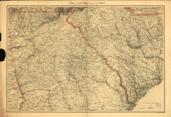
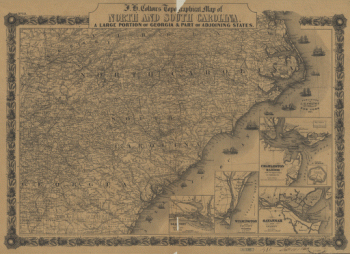
J. H. Colton's topographical map of North and South Carolina
$17.95 – $47.95 -
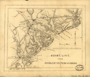
Coast line from Charleston to Savannah
$17.95 – $47.95 -
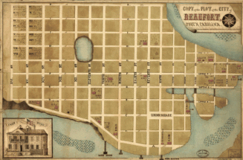
The plot of the city of Beaufort, South Carolina
$17.95 – $47.95 -
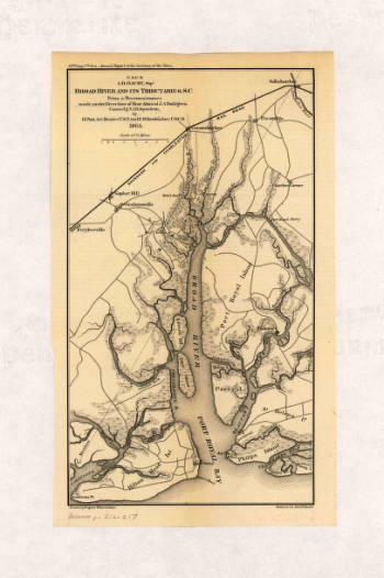
Broad River and its tributaries
$17.95 – $47.95 -
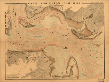
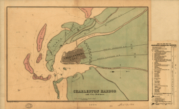
Map of Charleston Harbor showing defenses
$17.95 – $47.95 -
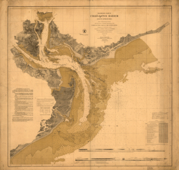
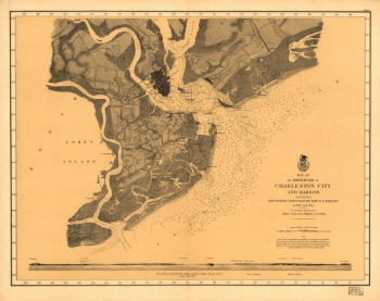
Map of Charleston Harbor
$17.95 – $47.95 -
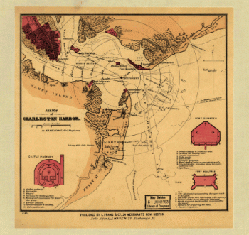
Sketch of Charleston Harbor
$17.95 – $47.95 -
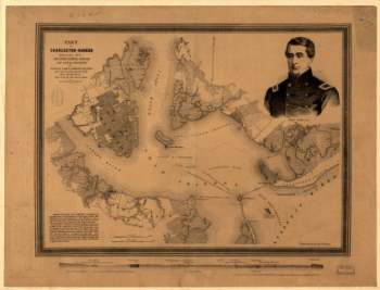
Part of Charleston Harbor
$17.95 – $47.95 -
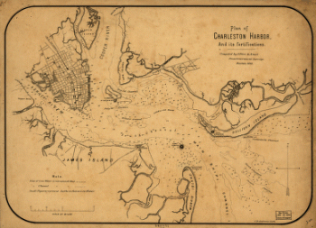
Plan of Charleston Harbor, and its fortifications
$17.95 – $47.95 -
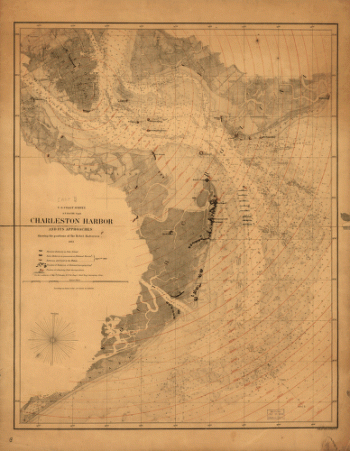
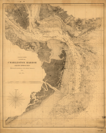
Charleston Harbor and its approaches
$17.95 – $47.95 -
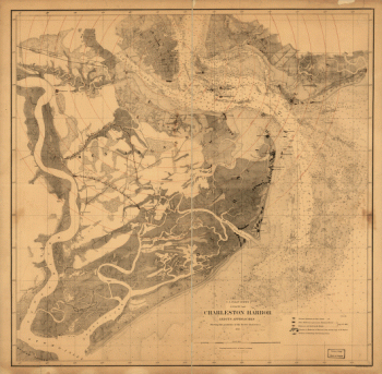
Charleston Harbor and its approaches
$17.95 – $47.95 -
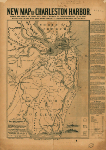
New map of Charleston Harbor
$17.95 – $47.95 -
Charleston Harbor and its approaches
$17.95 – $47.95 -
Resurvey of Charleston Bar by W. S. Edwards
$17.95 – $47.95 -
Charleston Harbor and city defences
$17.95 – $47.95 -
Sketch showing position of besieging batteries
$17.95 – $47.95 -
Map of the defences of Charleston city and harbor
$17.95 – $47.95 -
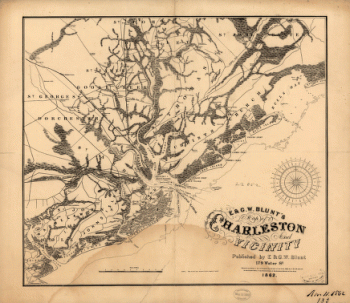
E. & G. W. Blunt's map of Charleston and vicinity
$17.95 – $47.95 -
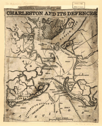
Charleston and its defences
$17.95 – $47.95 -
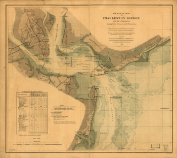
General map of Charleston Harbor
$17.95 – $47.95 -
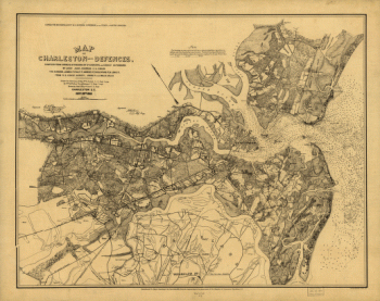
Map of Charleston and its defences
$17.95 – $47.95 -
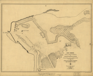
Fort Johnson
$17.95 – $47.95 -
Fort Sumter at the time of its capture
$17.95 – $47.95 -
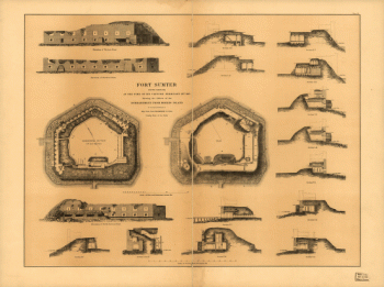
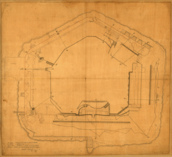
Plan of Fort Sumter, South Carolina
$17.95 – $47.95 -
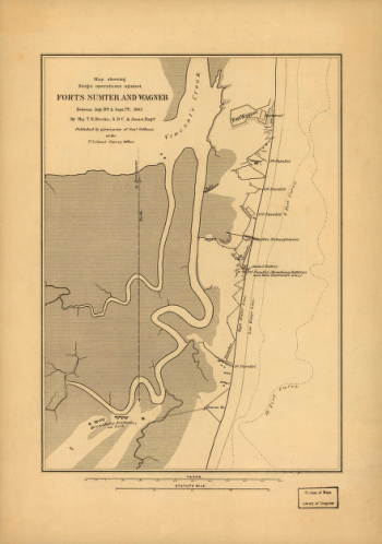
Siege operations against forts Sumter and Wagner
$17.95 – $47.95 -
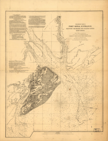
Preliminary chart of Port Royal entrance
$17.95 – $47.95 -
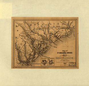
St. Helena Sound, and the coast between Charleston and Savannah
$17.95 – $47.95 -
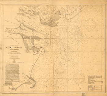
St. Helena Sound, South Carolina
$17.95 – $47.95 -
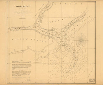
Stono Inlet, South Carolina
$17.95 – $47.95 -
The environs of Savannah, Georgia
$17.95 – $47.95 -
The seat of war in South Carolina and Georgia
$17.95 – $47.95 -
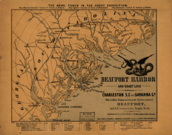
Beaufort Harbor and coast line between Charleston and Savannah
$17.95 – $47.95 -
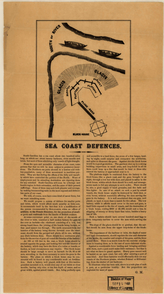
Sea coast defences
$17.95 – $47.95 -
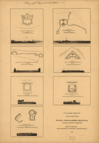
Plans & views of Rebel defences, coast of South Carolina
$17.95 – $47.95 -
Sea coast from Bull's Bay to Ossabaw Sound
$17.95 – $47.95