-

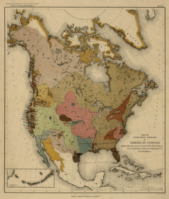
Map of linguistic stocks of American Indians
$17.95 – $47.95 -
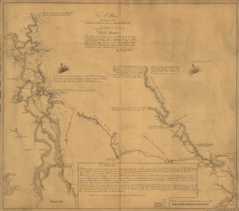
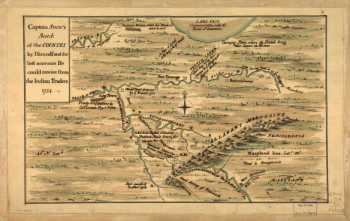
Plan of part of western front
$17.95 – $47.95 -
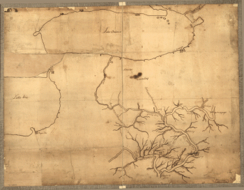
A plan of the lands in New London
$17.95 – $47.95 -
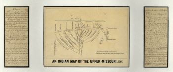
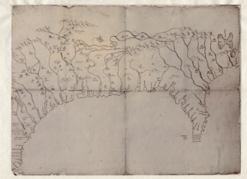
An Indian map of the Upper-Missouri
$17.95 – $47.95 -
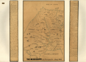
The Mississippi
$17.95 – $47.95 -
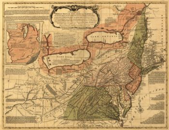
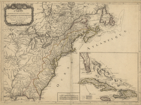
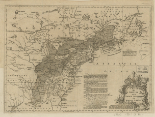
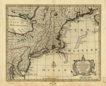
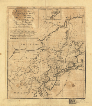
A general map of the middle British colonies in America
$17.95 – $47.95 -
Mapa del Golfo y costa de la Nueva Espaea
$17.95 – $47.95 -
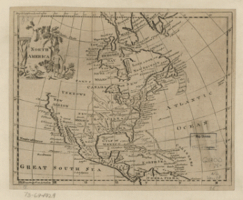
North America
$17.95 – $47.95 -
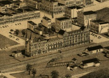
Ardmore, Indian Territory, 1891
$17.95 – $47.95 -
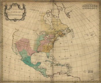
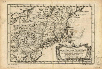
Carte de l'Amerique septentrionale, 1754
$17.95 – $47.95 -
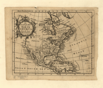
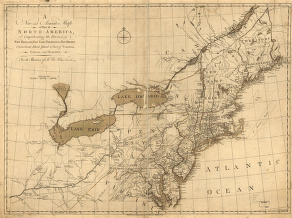
An Accurate map of North America from the latest discoveries
$17.95 – $47.95 -
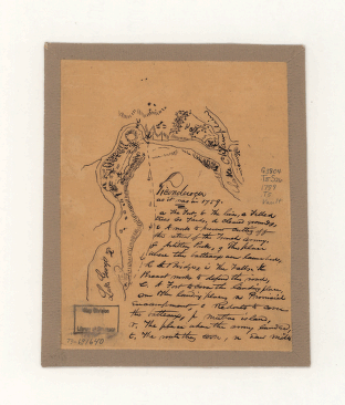
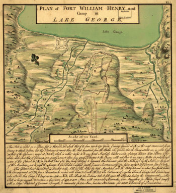
Ticonderoga as it was in 1759
$17.95 – $47.95 -
Carta geografica dell' America settentrionale
$17.95 – $47.95 -
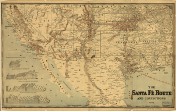
The Santa Fe Route and connections, 1888
$17.95 – $47.95 -
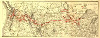
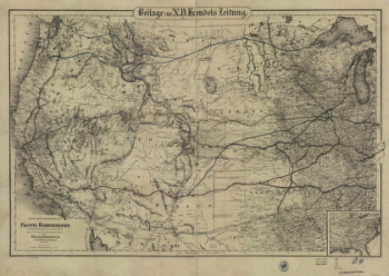
Northern Pacific Railway 1900
$17.95 – $47.95 -
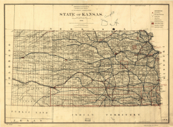
State of Kansas, 1884
$17.95 – $47.95 -
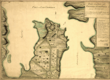
Plan of the fort and fortress at Crown Point with their environs
$17.95 – $47.95 -
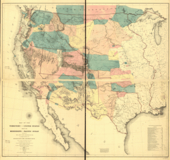
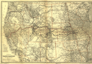
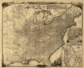
The Pacific Railroads and their branches
$17.95 – $47.95 -
Carte generale des Etats Unis de l'Amerique Septentrionale
$17.95 – $47.95 -
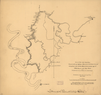
Route of the late expedtion
$17.95 – $47.95 -
A new and accurate map of part of North-America
$17.95 – $47.95 -
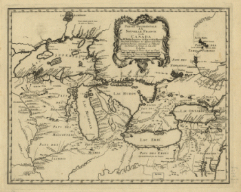
Partie occidentale de la Nouvelle France ou du Canada
$17.95 – $47.95 -
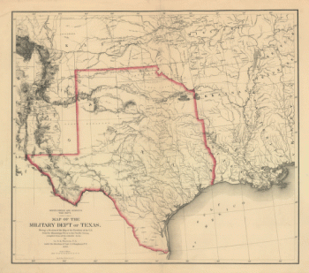
Map of the military dep't of Texas
$17.95 – $47.95 -
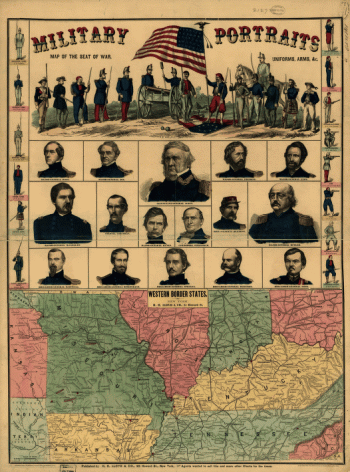
Western border states
$17.95 – $47.95 -
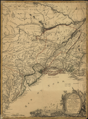
Theatre de la guerre actuel entre les Anglais
$17.95 – $47.95 -
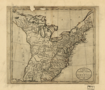
A new map for travelers through the United States of America
$17.95 – $47.95 -
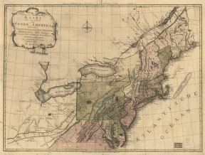
Nieuwe en nauwkeurige kaart van een gedeelte van Noord Amerika
$17.95 – $47.95 -
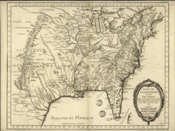
Carte de la Louisiane et des pays voisins
$17.95 – $47.95 -
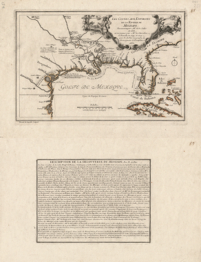
Les costes aux environs de la riviere de Misisipi
$17.95 – $47.95 -
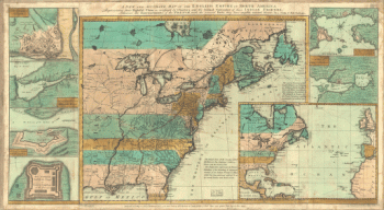
A new and accurate map of the English empire in North America
$17.95 – $47.95 -

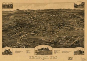
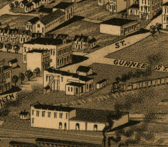
Anniston AL in 1887
$17.95 – $47.95 -
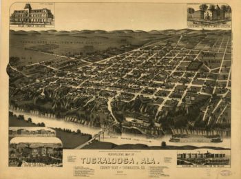
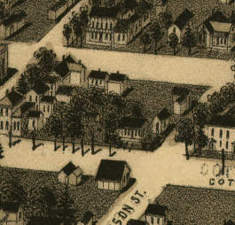
Tuscaloosa AL in 1887
$17.95 – $47.95 -
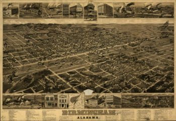
Birmingham AL in 1885
$17.95 – $47.95