-


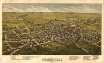
Somerville NJ Color 1882
$17.95 – $47.95 -
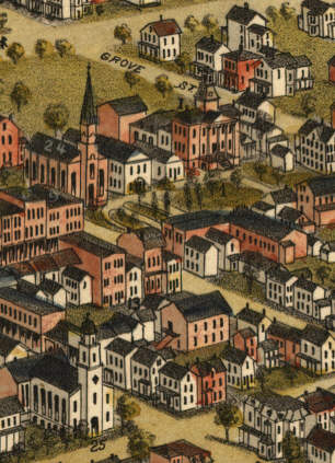
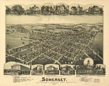
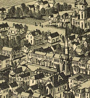
Somerset PA 1900
$17.95 – $47.95 -
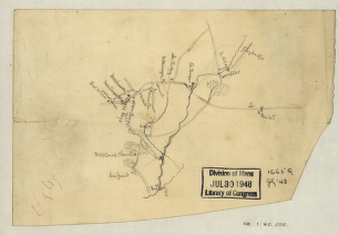
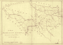
Somerset County
$17.95 – $47.95 -
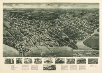
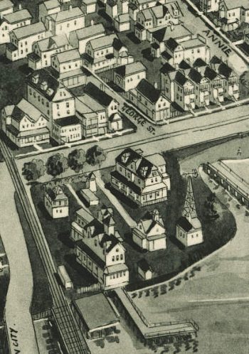
Somers Point NJ 1925
$17.95 – $47.95 -
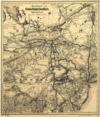
Sodus Point and Southern Railroad
$17.95 – $47.95 -
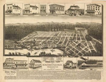
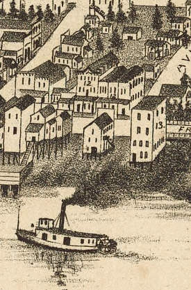
Snohomish WA 1890
$17.95 – $47.95 -
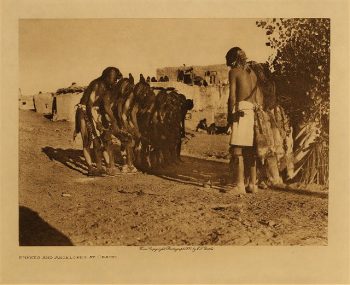
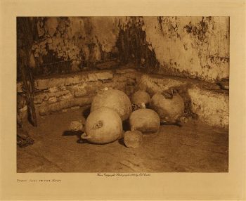
Snake jars in the kiva 1906
$17.95 -
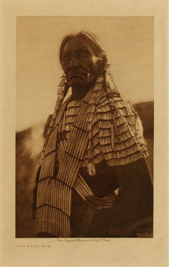
Slow Bull's wife 1907
$17.95 -
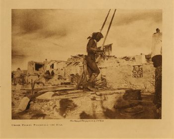
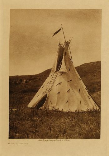
Slow Bull's tipi 1907
$17.95 -
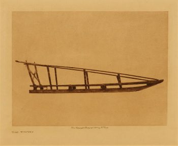
Sled, Nunivak 1928
$17.95 -
Skuthun (Klickitat) 1910
$17.95 -
Skokomish baskets 1912
$17.95 -
Skins Wolf (Apsaroke) 1908
$17.95 -
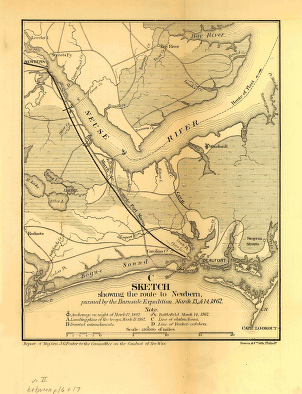
Sketch showing the route to Newbern
$17.95 – $47.95 -
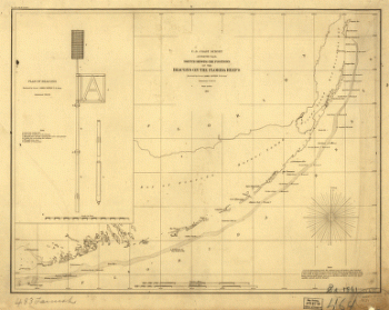
Sketch showing the positions of the beacons on the Florida reefs
$17.95 – $47.95 -
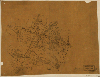
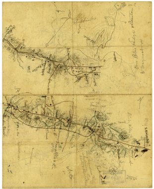
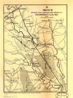
Sketch showing route pursued in the advance to Goldsboro, N.C.
$17.95 – $47.95 -
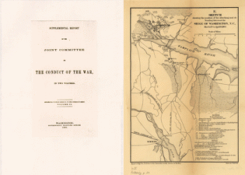
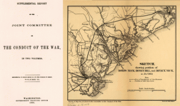
Sketch showing position of besieging batteries
$17.95 – $47.95 -
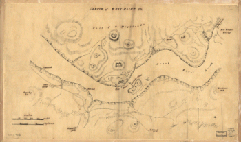
Sketch of West Point.
$17.95 – $47.95 -
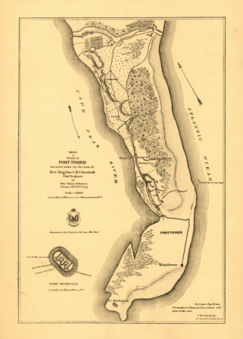
Sketch of vicinity of Fort Fisher
$17.95 – $47.95 -
Sketch of the vicinity of McDowell, Va.
$17.95 – $47.95 -
Sketch of the vicinity of Cross Keys, Va.
$17.95 – $47.95 -
Sketch of the two breakwaters above Alexandria in the Red River
$17.95 – $47.95 -
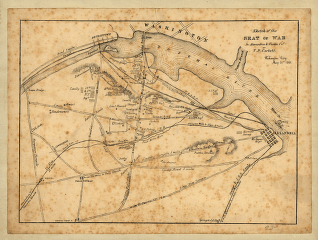
Sketch of the seat of war in Alexandria & Fairfax Counties
$17.95 – $47.95 -
Sketch of the road from Waynesboro toward Staunton – Map 2
$17.95 – $47.95


![Sketch showing route of the Burnside expedition [to Roanoke Island, N.C., February 6, 1862]](https://www.ushistoricalarchive.com/wp-content/uploads/nc/data/products/im/sm/nc/b46-350x765.gif)


![Sketch showing position of besieging batteries. [Fort Sumter] April 12-13, 1861 Bowen & Co., lith., Phila.](https://www.ushistoricalarchive.com/wp-content/uploads/nc/data/products/im/sm/sc/b45.gif)