-

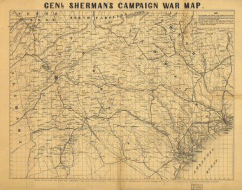
Genl. Sherman's campaign war map
$17.95 – $47.95 -
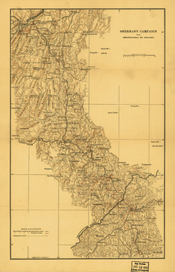
Sherman's campaign from Chattanooga to Atlanta
$17.95 – $47.95 -
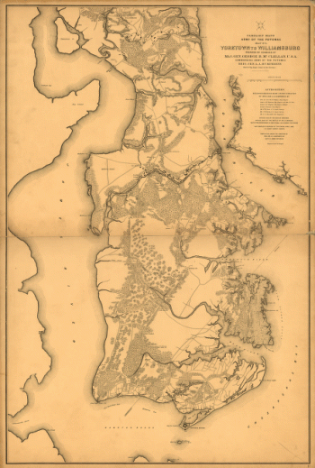
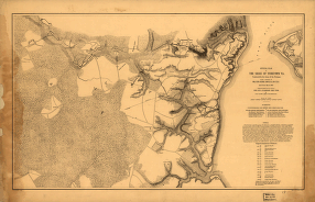
Yorktown to Williamsburg
$17.95 – $47.95 -
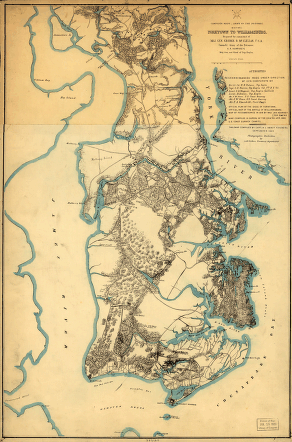
Yorktown to Williamsburg
$17.95 – $47.95 -
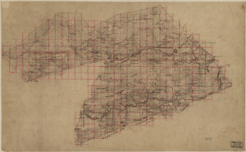
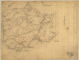
Map of part of Wythe County, Va
$17.95 – $47.95 -
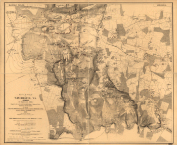
Battle field of Winchester, Va. (Opequon)
$17.95 – $47.95 -
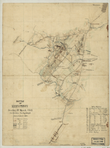
Battle of Kernstown
$17.95 – $47.95 -
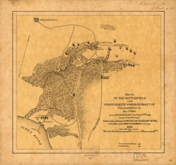
Battlefield and Confederate works in front of Williamsburg, Va
$17.95 – $47.95 -
The battle of Frayser's Farm
$17.95 – $47.95 -
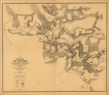
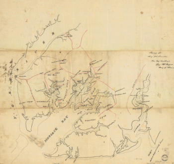
Totopotomoy [1864]
$17.95 – $47.95 -
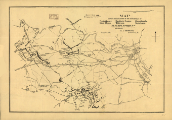
Battle fields of the Tolopotomoy, and Bethesda Church
$17.95 – $47.95 -
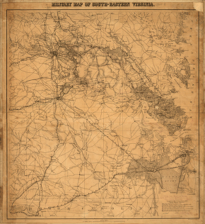
Military map of south-eastern Virginia
$17.95 – $47.95 -
South East Virginia and North East North Carolina
$17.95 – $47.95 -
North eastern Virginia and vicinity of Washington
$17.95 – $47.95 -
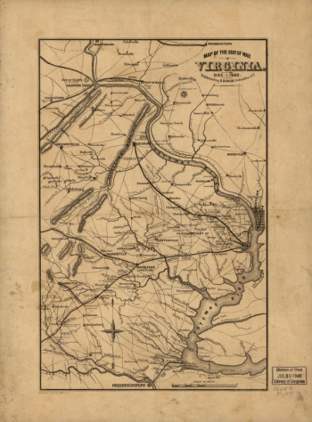
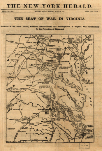
The seat of war in Virginia, Dec. 1, 1862
$17.95 – $47.95 -
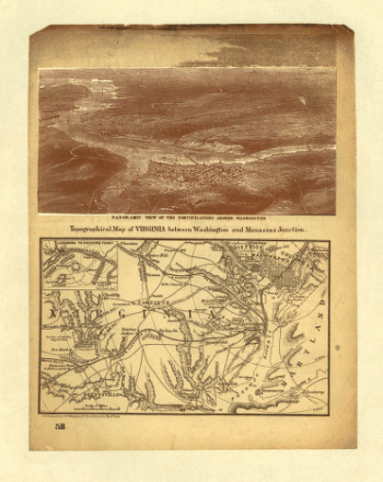
Virginia between Washington and Manassas Junction
$17.95 – $47.95 -
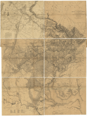
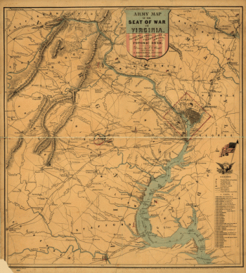
Army map of the seat of war in Virginia
$17.95 – $47.95 -
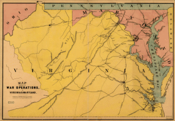
The war operations in Virginia & Maryland
$17.95 – $47.95 -
The seat of war in Virginia
$17.95 – $47.95 -
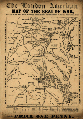
Map of the seat of war
$17.95 – $47.95 -
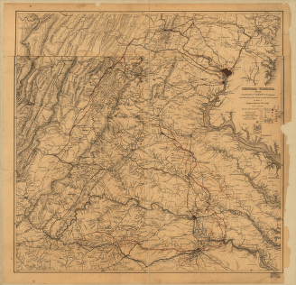
Central Virginia
$17.95 – $47.95 -
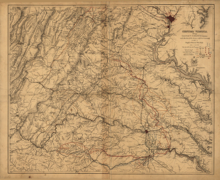
Central Virginia
$17.95 – $47.95 -
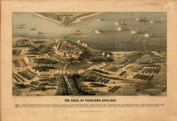
The siege of Yorktown, April 1862
$17.95 – $47.95 -
Official plan of the siege of Yorktown, Va
$17.95 – $47.95 -
York River and Mobjack Bay, Va
$17.95 – $47.95 -
Military map of Suffolk & vicinity
$17.95 – $47.95 -
Stafford County
$17.95 – $47.95 -
Battlefields of Virginia
$17.95 – $47.95 -
Spotsylvania County
$17.95 – $47.95 -
Spotsylvania and Caroline Counties
$17.95 – $47.95 -
Rockbridge County
$17.95 – $47.95 -
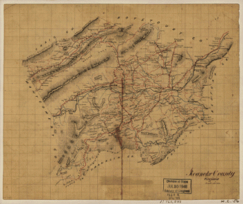
Roanoke County, Virginia
$17.95 – $47.95 -
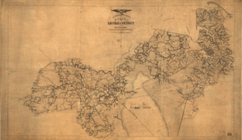
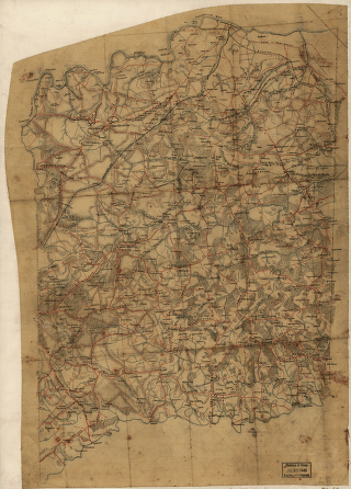
Richmond [1862-1865]
$17.95 – $47.95 -
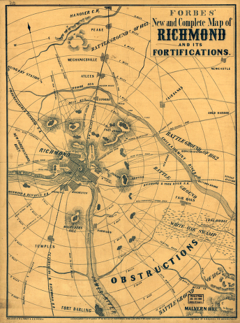
Forbes' new and complete map of Richmond and its fortifications
$17.95 – $47.95 -
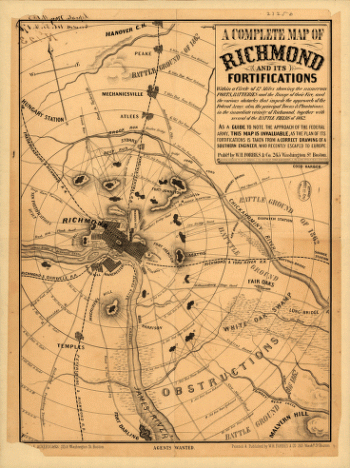
Richmond and its fortifications
$17.95 – $47.95 -
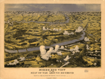
Birds eye view of the seat of war around Richmond
$17.95 – $47.95 -
Battle ground near Richmond
$17.95 – $47.95 -
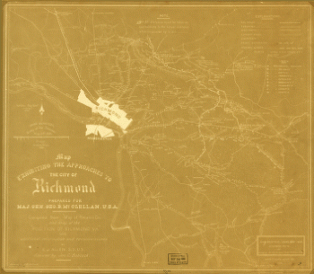
The approaches to the city of Richmond
$17.95 – $47.95 -
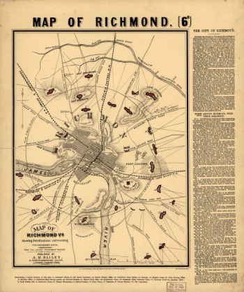
Richmond, Va
$17.95 – $47.95 -
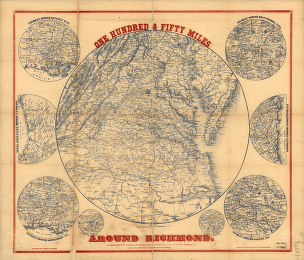
One hundred & fifty miles around Richmond – Map 1
$17.95 – $47.95 -
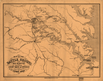
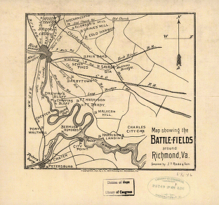
The battle-fields around Richmond, Va
$17.95 – $47.95 -
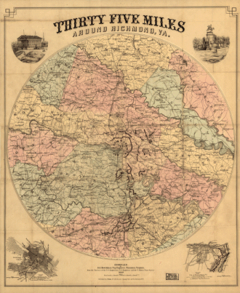
Thirty five miles around Richmond, Va – Map 2
$17.95 – $47.95 -
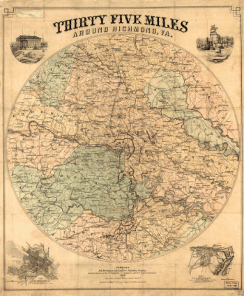
Thirty five miles around Richmond, Va – Map 1
$17.95 – $47.95
![Totopotomoy [1864]](https://www.ushistoricalarchive.com/wp-content/uploads/nc/data/products/im/cw/va3/b27-350x223.gif)

![Richmond [1862-1865]](https://www.ushistoricalarchive.com/wp-content/uploads/nc/data/products/im/cw/va3/b10.gif)