-


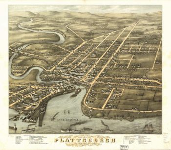
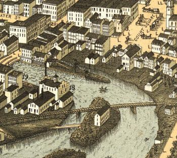
Plattsburgh NY Color 1877
$17.95 – $47.95 -
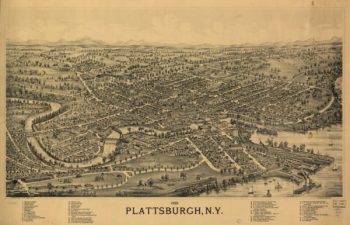
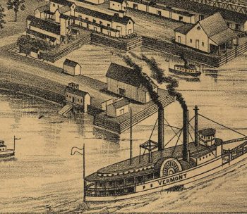
Plattsburgh NY 1899
$17.95 – $47.95 -
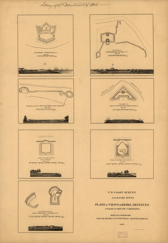
Plans & views of Rebel defences, coast of South Carolina
$17.95 – $47.95 -
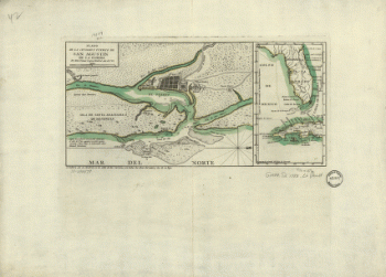
Plano de la ciudad y puerto de San Agustin de la Florida
$17.95 – $47.95 -
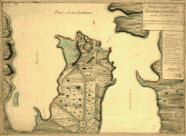
Plano de la Bahia de la Ware y entrada de Filadelfie
$17.95 – $47.95 -
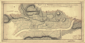
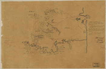
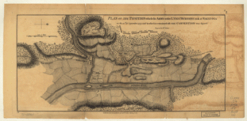
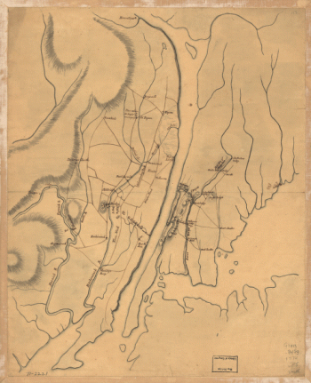
Plan, Lake Champlain from Fort St John's to Ticonderoga
$17.95 – $47.95 -
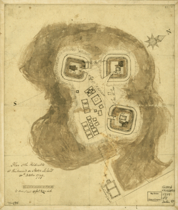
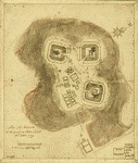
Plan showing the defences of the fort on Red River
$17.95 – $47.95 -
Plan of the town with the attack on Bunkers-Hill
$17.95 – $47.95 -
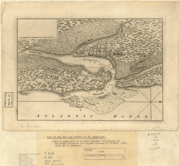
Plan of the town and harbour of St Augustine
$17.95 – $47.95 -
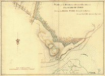
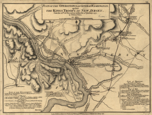
Plan of the road from Elizabeth Town Point to Elizabeth Town
$17.95 – $47.95 -
Plan of the peninsula of Charles Town
$17.95 – $47.95 -
Plan of the Neck and environs
$17.95 – $47.95 -
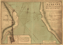
Plan of The Narrows
$17.95 – $47.95 -
Plan of the heights of Charles Town
$17.95 – $47.95 -
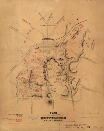
Plan of the Gettysburg battle ground
$17.95 – $47.95 -
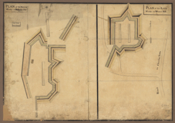
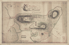
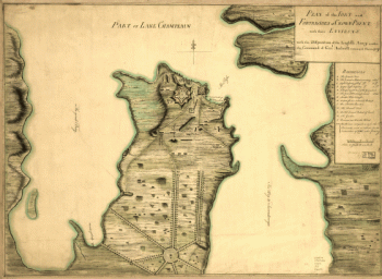
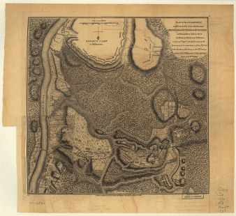
Plan of the fort and fortress at Crown Point with their environs
$17.95 – $47.95 -
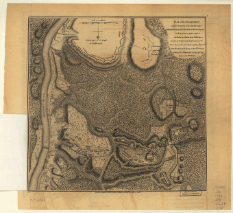
Plan of the fort and fortress at Crown Point with their environs
$17.95 – $47.95 -
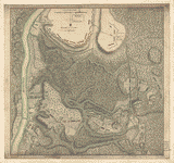
Plan of the fort and fortress at Crown Point with their environs
$17.95 – $47.95 -
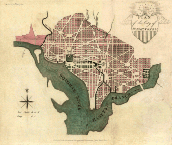
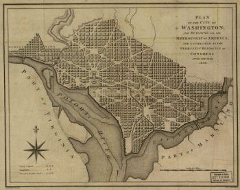
Plan of the city of Washington.
$17.95 – $47.95 -
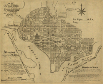
Plan of the city of Washington in the territory of Columbia
$17.95 – $47.95 -
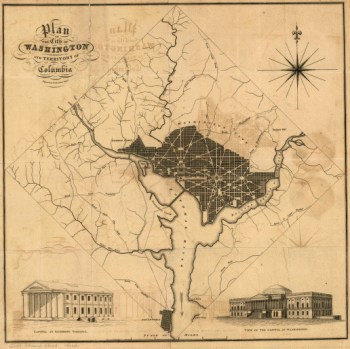
Plan of the city of Washington
$17.95 – $47.95 -
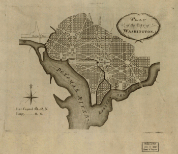
Plan of the city of Washington
$17.95 – $47.95