-

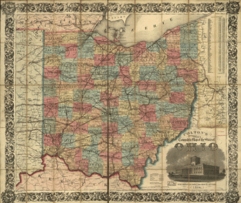
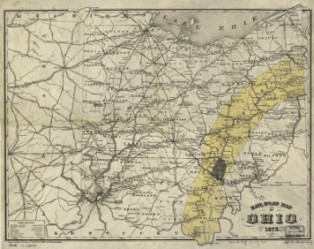
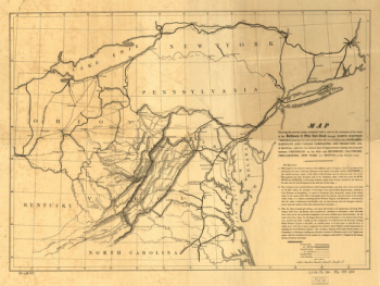
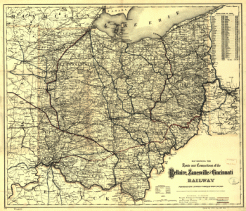
Rail road map of Ohio 1873.
$17.95 – $47.95 -
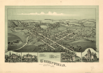
Woodsfield, Monroe County, Ohio, 1899
$17.95 – $47.95 -
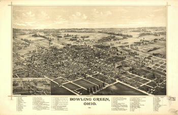
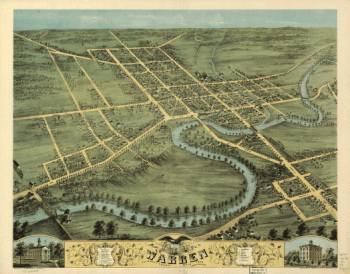
Bowling Green, Ohio 1888. Burleigh Lith. Est.
$17.95 – $47.95 -
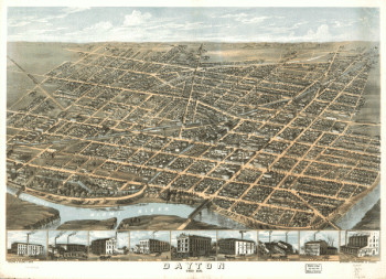
Dayton, Ohio 1870.
$17.95 – $47.95 -
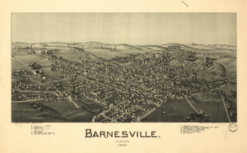
Barnesville, Ohio 1899
$17.95 – $47.95 -
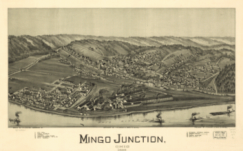
Mingo Junction, Ohio 1899
$17.95 – $47.95 -
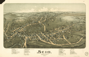
Scio, Harrison County, Ohio
$17.95 – $47.95 -
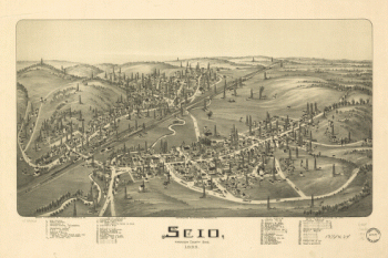
Scio, Harrison County, Ohio 1899
$17.95 – $47.95 -
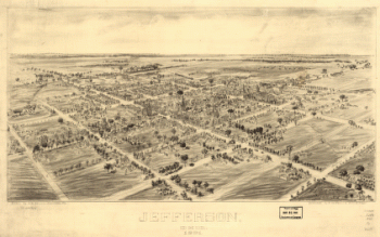
Jefferson, Ohio 1901. Drawn by T. M. Fowler. Morrisville, Pa.
$17.95 – $47.95 -
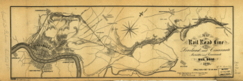
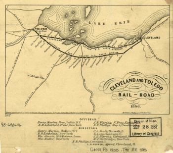
Cleveland and Toledo Rail-Road 1856
$17.95 – $47.95 -
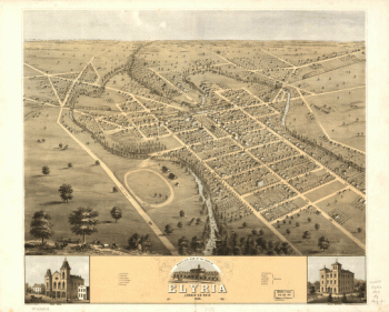
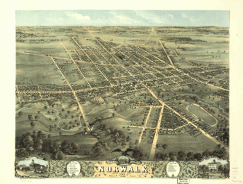
Bird's eye view of the town of Elyria, Lorain Co., Ohio 1868
$17.95 – $47.95 -
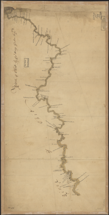
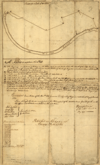
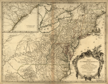
River of Ohio.
$17.95 – $47.95 -
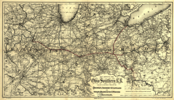
Ohio Southern railroad and its connections
$17.95 – $47.95 -
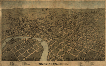
Birds eye view of Columbus, Ohio / drawn by H.H. & O.H. Bailey.
$17.95 – $47.95 -
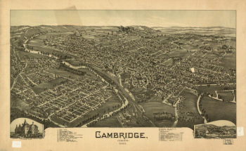
Cambridge, Ohio 1899. Drawn by T. M. Fowler.
$17.95 – $47.95 -
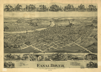
Canal Dover, Tuscarawas County, Ohio 1899. Drawn by A. E. Downs.
$17.95 – $47.95 -
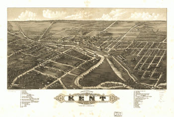
Panoramic view of the city of Kent, Portage County, Ohio 1882.
$17.95 – $47.95 -
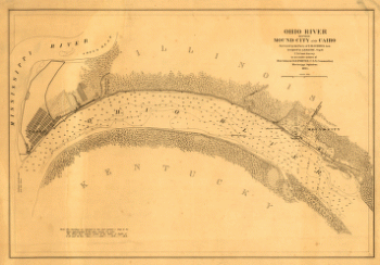
Ohio River between Mound City and Cairo
$17.95 – $47.95 -
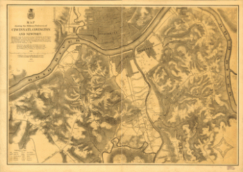
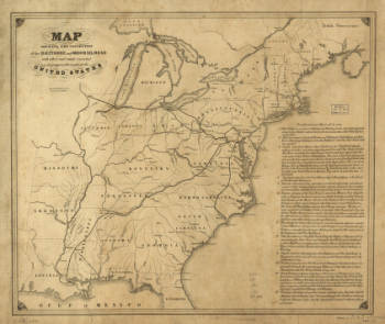
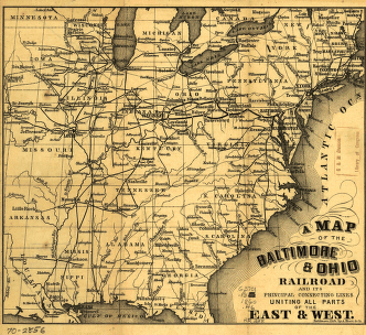
Connection of the Baltimore and Ohio rail road
$17.95 – $47.95 -
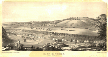
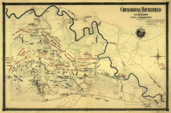
Chickamauga battlefield
$17.95 – $47.95
![Toledo, Ohio 1876. [By] A. Ruger. Chas. Shober & Co. props. Chicago Lith. Co.](https://www.ushistoricalarchive.com/wp-content/uploads/nc/data/products/im/sm/oh/b48-350x202.gif)