-

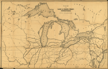
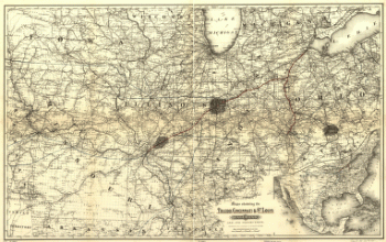
View of the lake & north west-connections with Philadelphia.
$17.95 – $47.95 -
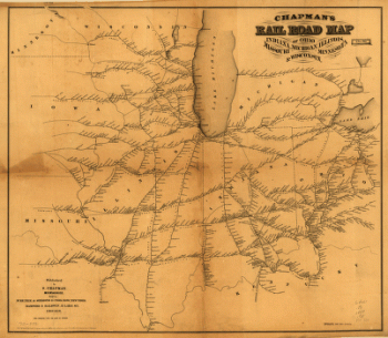
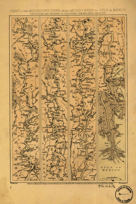
Mississippi River from the Ohio River to Gulf of Mexico
$17.95 – $47.95 -
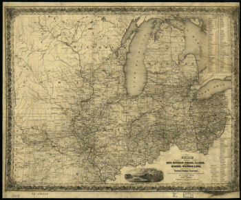
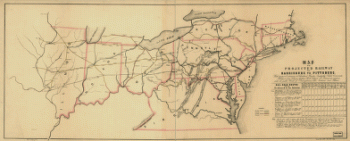
Map of the projected railway from Harrisburg to Pittsburg
$17.95 – $47.95 -
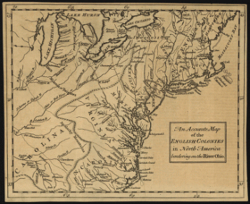
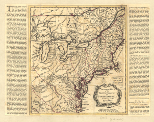
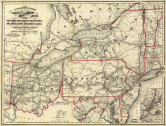
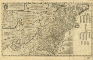
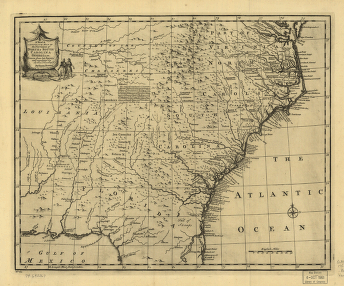
A map of the middle British colonies in North America
$17.95 – $47.95 -
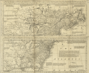
A map of the British and French settlements in North America
$17.95 – $47.95 -
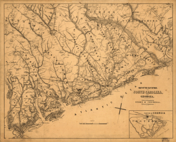
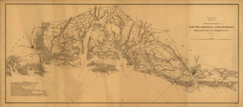
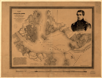
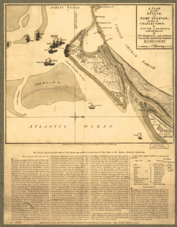
Map of the seat of war, in South Carolina, and Georgia
$17.95 – $47.95 -
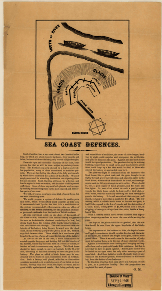
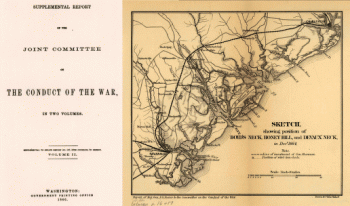
Sea coast defences
$17.95 – $47.95 -
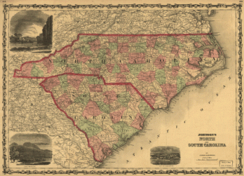
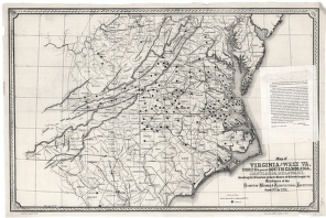
Johnson's North and South Carolina
$17.95 – $47.95 -
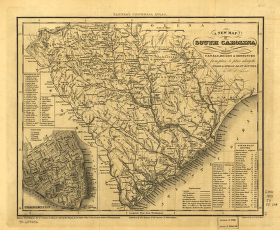
South Carolina railroads
$17.95 – $47.95 -
Part of South Carolina and Georgia
$17.95 – $47.95 -
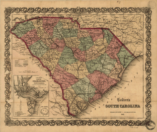
Colton's South Carolina
$17.95 – $47.95 -
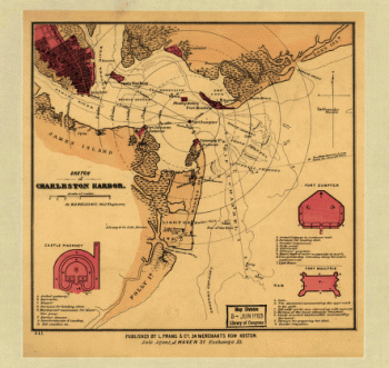
Sketch of Charleston Harbor By W. A. Williams, Civil Engineer.
$17.95 – $47.95 -
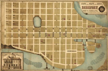
Copy of the plot of the city of Beaufort, South Carolina
$17.95 – $47.95 -
The provinces of North & South Carolina, Georgia
$17.95 – $47.95 -
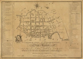
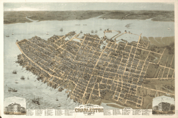
Charleston, South-Carolina
$17.95 – $47.95 -
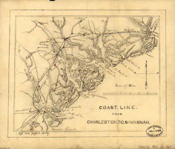
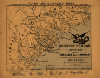
Coast line from Charleston to Savannah.
$17.95 – $47.95 -
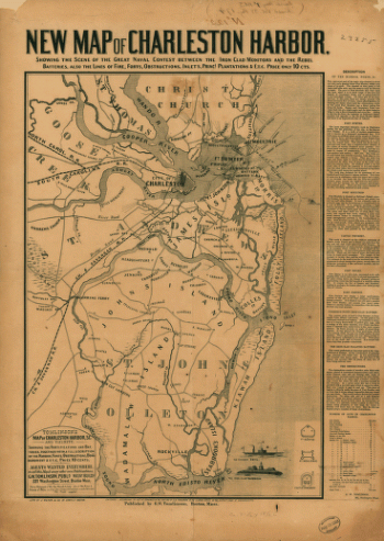
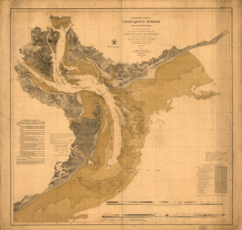
Charleston Harbor
$17.95 – $47.95 -
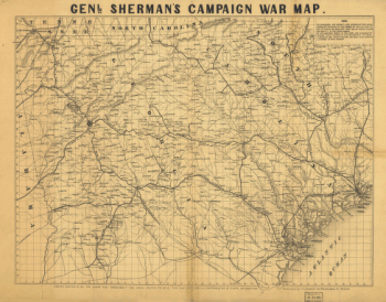
Genl. Sherman's campaign war map.
$17.95 – $47.95 -
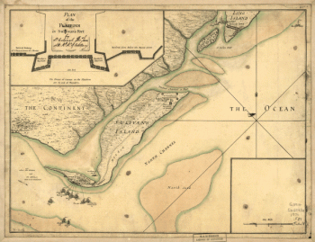
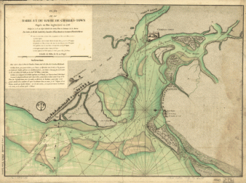
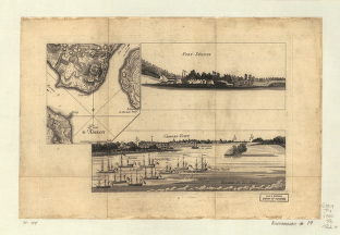
Plan de la barre et du havre de Charles-Town
$17.95 – $47.95 -
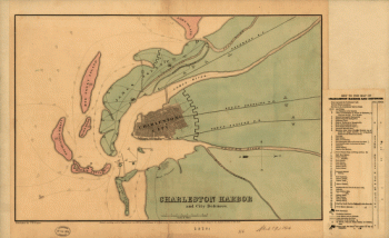
Charleston Harbor and city defences
$17.95 – $47.95 -
Resurvey of Charleston Bar
$17.95 – $47.95 -
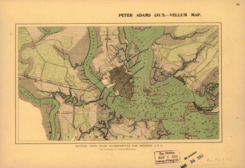
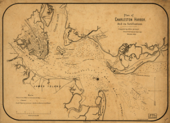
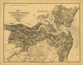
Map of Charleston and its defences
$17.95 – $47.95 -
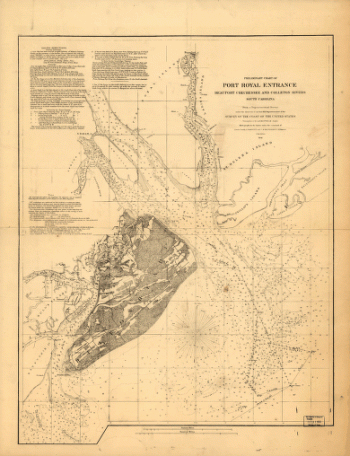
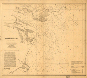
Preliminary chart of St. Helena Sound, South Carolina
$17.95 – $47.95 -
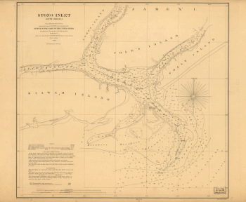
Stono Inlet, South Carolina
$17.95 – $47.95 -
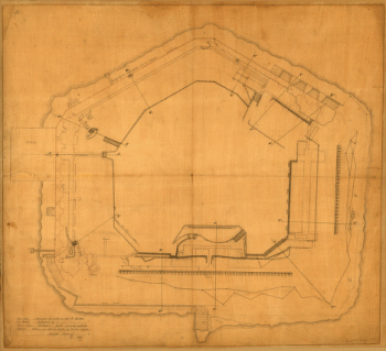
Fort Sumter, South Carolina
$17.95 – $47.95 -
Charleston Harbor
$17.95 – $47.95


![Map of the environs of Savannah, Georgia. 186-] Drawn by A. Lindenkoh. Chas. G. Krebs, lith.](https://www.ushistoricalarchive.com/wp-content/uploads/nc/data/products/im/sm/sc/b35-350x465.gif)
![Sketch showing position of besieging batteries. [Fort Sumter] April 12-13, 1861 Bowen & Co., lith., Phila.](https://www.ushistoricalarchive.com/wp-content/uploads/nc/data/products/im/sm/sc/b45.gif)