-

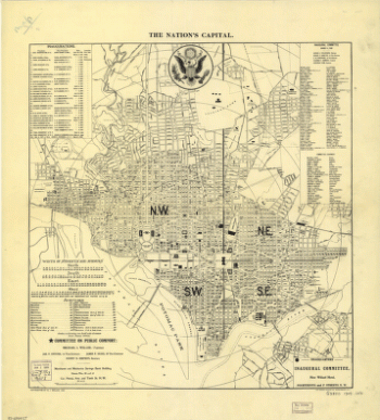
The nation's capital : Washington D.C.
$17.95 – $47.95 -
Washington, the beautiful capital of the nation
$17.95 – $47.95 -
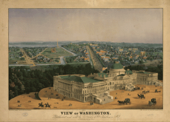
View of Washington City
$17.95 – $47.95 -
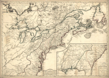
Virginia and Maryland
$17.95 – $47.95 -
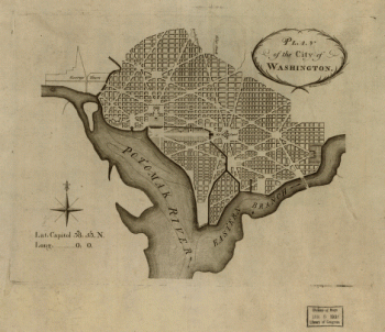
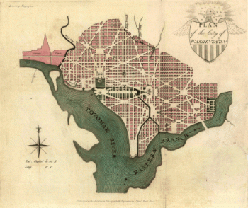
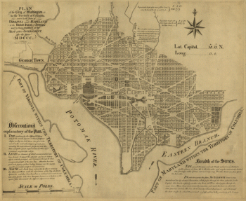
Plan of the city of Washington
$17.95 – $47.95 -
Washington, D.C., and environs
$17.95 – $47.95 -
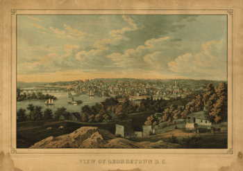
Georgetown D.C.
$17.95 – $47.95 -
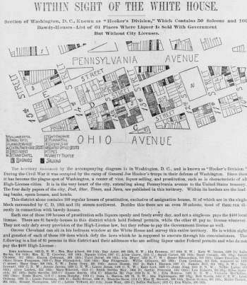
Within sight of the White House : section of Washington, D.C.
$17.95 – $47.95 -
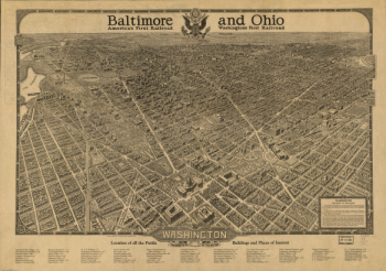
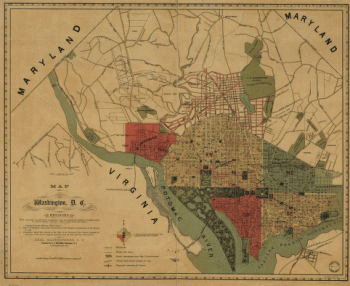
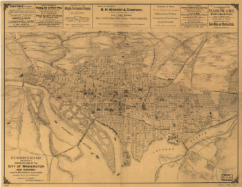
B.H. Warner & Co.'s Map
$17.95 – $47.95 -
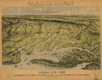
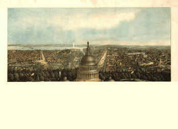
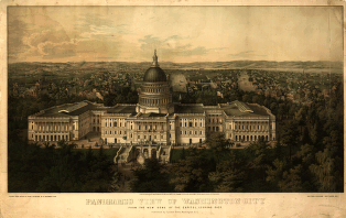
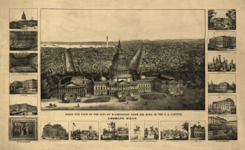
Panoramic view of Washington City
$17.95 – $47.95 -
Plan of the city of Washington.
$17.95 – $47.95 -
View of Washington
$17.95 – $47.95 -
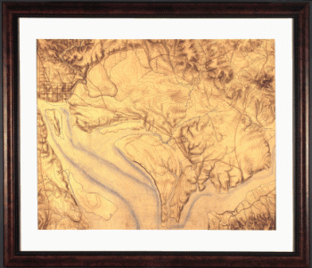
Topography of the federal city, 1791 : Washington D.C.
$17.95 – $47.95 -
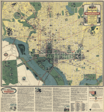
Esso pictorial guide to Washington, D.C., and vicinity : 1942
$17.95 – $47.95 -
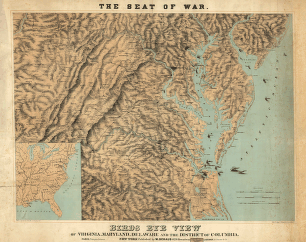
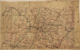
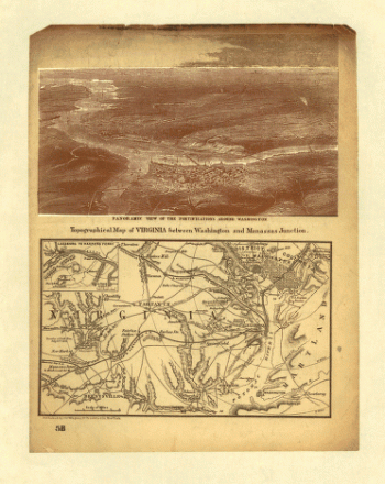
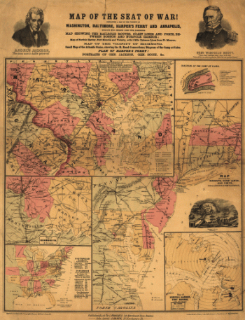
The Seat of War
$17.95 – $47.95 -
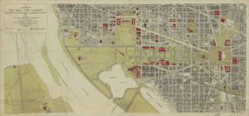
Washington, the Mall and vicinity
$17.95 – $47.95 -
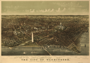
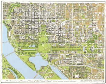
The monumental and commercial center of the national capital
$17.95 – $47.95 -
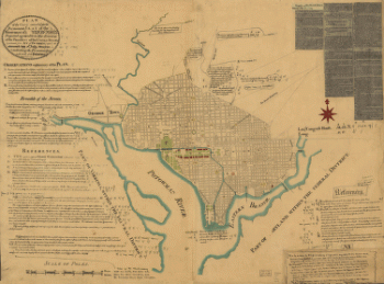
Plan of the city of Washington in the territory of Columbia
$17.95 – $47.95 -
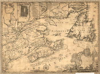
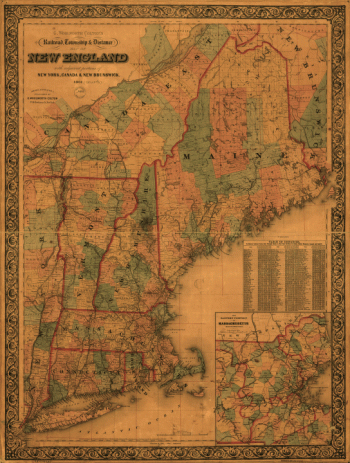
Province of Nova-Scotia and adjacent parts
$17.95 – $47.95 -
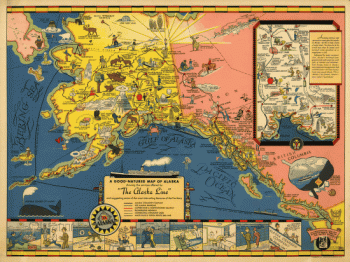
The Alaska Line
$17.95 – $47.95 -
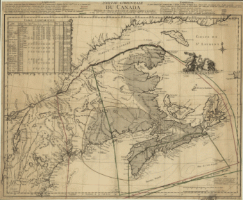
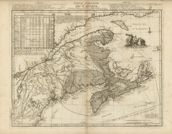
La Nouvelle France où Canada
$17.95 – $47.95 -
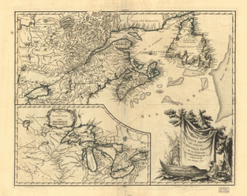
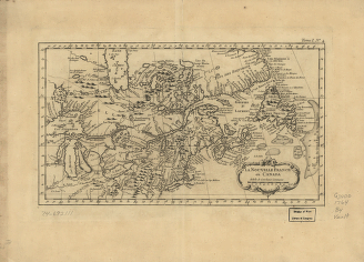
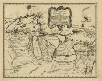
Partie occidentale de la Nouvelle France
$17.95 – $47.95 -
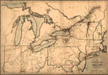
A correct map of the seat of war
$17.95 – $47.95 -
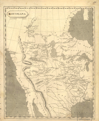
Louisiana
$17.95 – $47.95 -
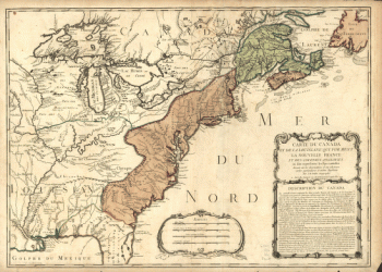
Carte du Canada et des Etats-Unis de l'Amérique Septentrionale
$17.95 – $47.95 -
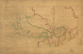
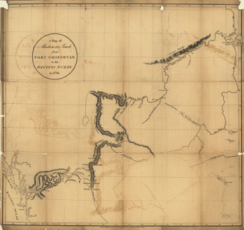
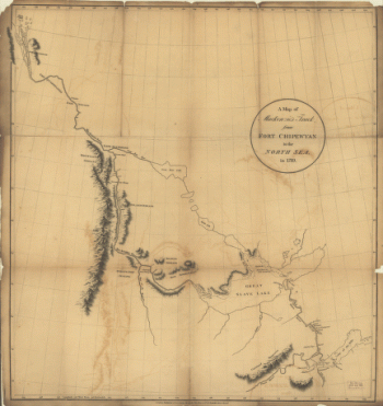
Mackenzie's track from Fort Chipewyan to the north sea in 1789
$17.95 – $47.95 -
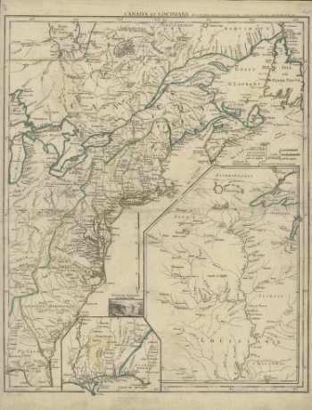
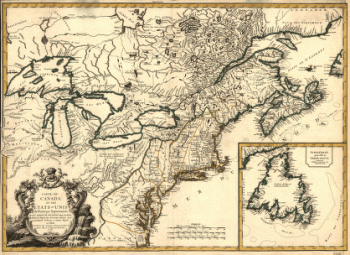
Canada and Louisiana
$17.95 – $47.95 -
Winnipeg
$17.95 – $47.95 -
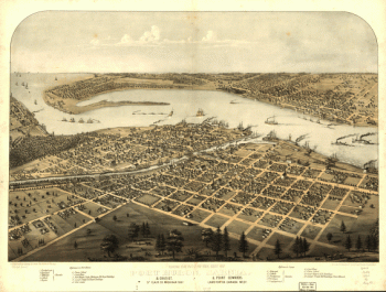
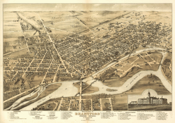
Bird's eye view of Brantford, province Ontario, Canada 1875
$17.95 – $47.95 -
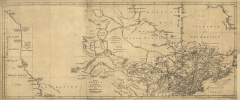
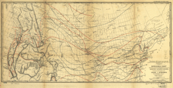
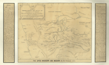
The upper Mississippi and Missouri
$17.95 – $47.95