-

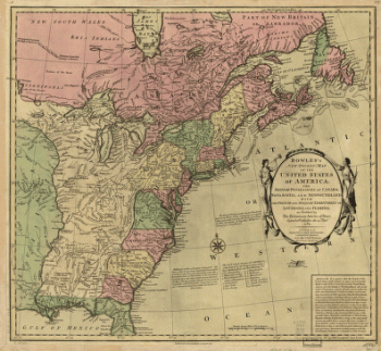
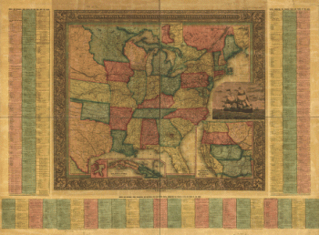
Bowles's new pocket map of the United States of America
$17.95 – $47.95 -
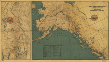
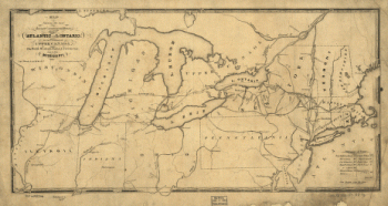
Map of Alaska, Yukon Territory and British Columbia
$17.95 – $47.95 -
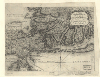
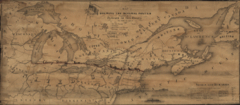
A Plan of the Straits of St. Mary, and Michilimakinac
$17.95 – $47.95 -
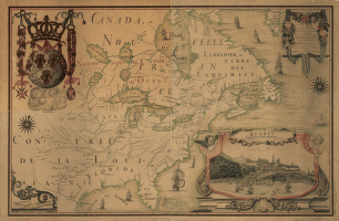
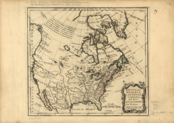
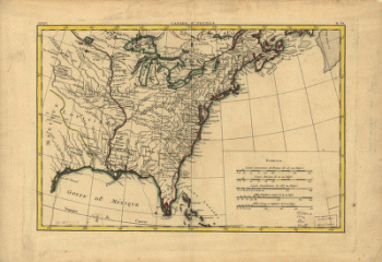
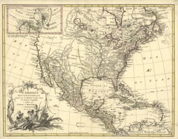
Carte de l'Amerique Septentrionnale
$17.95 – $47.95 -
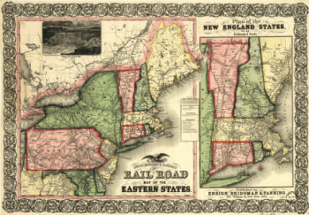
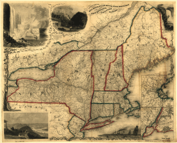
Ensign, Bridgman & Fanning's rail road map of the Eastern States
$17.95 – $47.95 -
Bird's eye view of Sherbrooke, P.Q.
$17.95 – $47.95 -
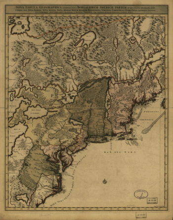
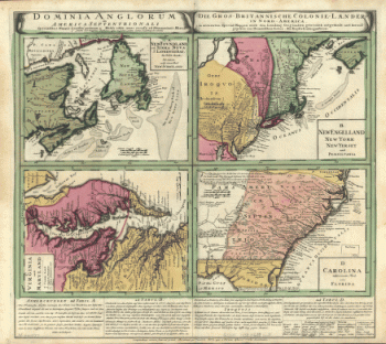
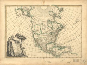
Nova tabula geographica complectens borealiorem Americæ partem
$17.95 – $47.95 -
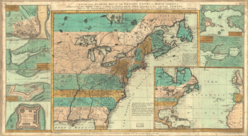
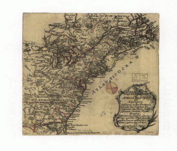
The English empire in North America
$17.95 – $47.95 -
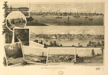
View of Victoria, Vancouver Island
$17.95 – $47.95 -
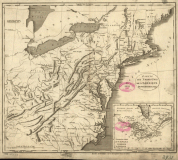
Partie des États-Unis de l'Amérique septentrionale
$17.95 – $47.95 -
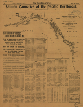
Salmon Canneries of the Pacific Northwest
$17.95 – $47.95 -
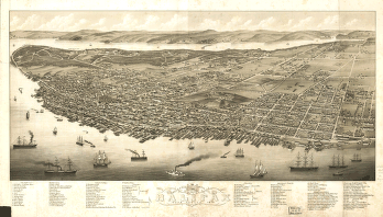
Panoramic view of the city of Halifax, Nova Scotia 1879
$17.95 – $47.95 -
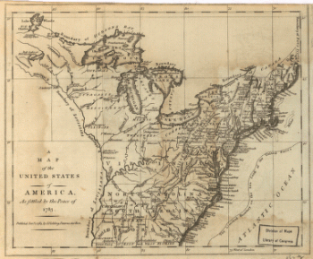
United States of America, as settled by the peace of 1783.
$17.95 – $47.95 -
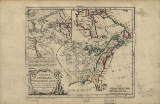
Canada and Louisiane
$17.95 – $47.95 -
America septentrionalis oder Mitternächtiger Theil von America
$17.95 – $47.95 -
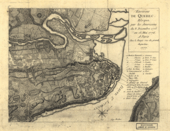
Environs de Quebec
$17.95 – $47.95 -
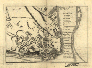
Plan de la ville de Quebec
$17.95 – $47.95 -
Canada IIe. feuille, XXXV, B 32
$17.95 – $47.95 -
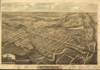
St. Thomas
$17.95 – $47.95 -
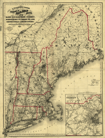
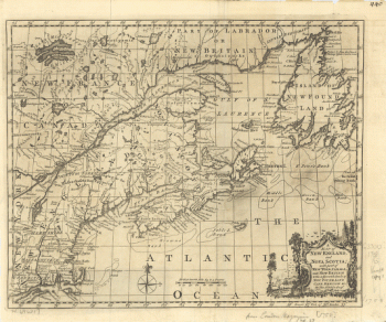
New England and Nova Scotia
$17.95 – $47.95 -
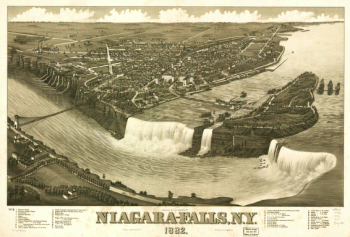
Niagara-Falls, N.Y. 1882
$17.95 – $47.95